September 8, 2026
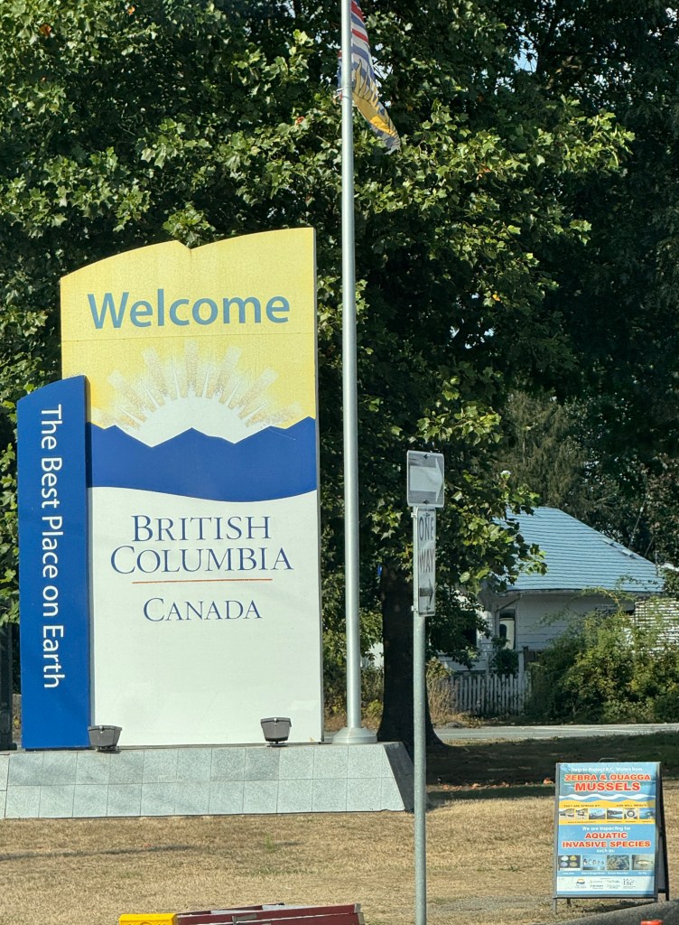
Today we started out or trip which took us as far as Kamloops, BC. While we weren’t sure our backsides were up for a full day of sitting in the car, we came out unscathed. What a drive!
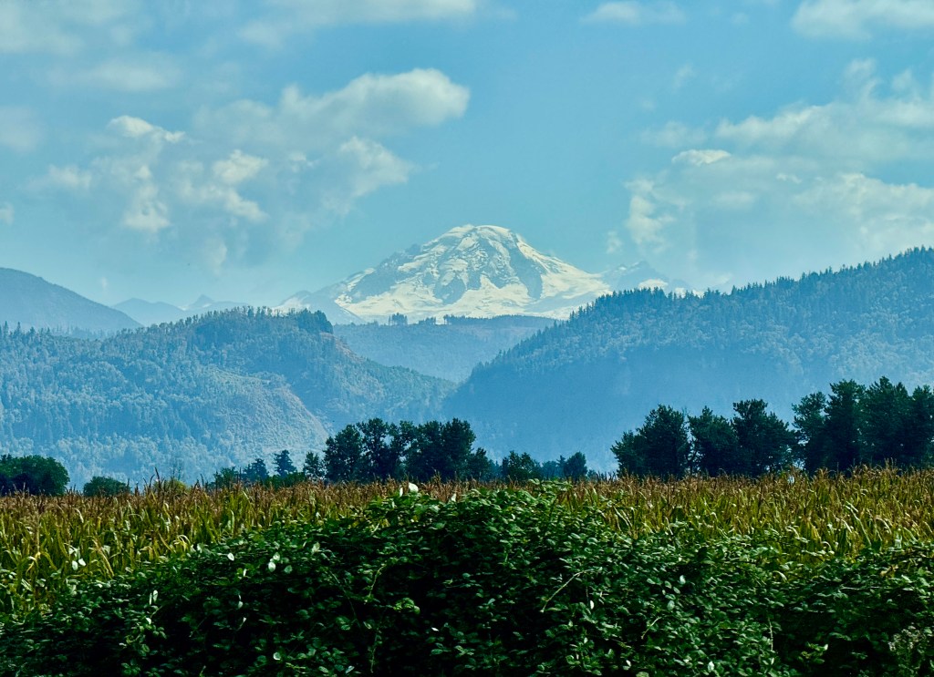
It was a beautiful day, with temperatures in the mid-70’s and lots of blue sky in between the puffy white clouds. It was disappointing that we were unable to see Mt. Baker as we drove north out of Seattle toward the border. It was just too cloudy in that direction. But once we made it into Canada (with an uneventful border crossing in Sumas), we caught site of the 10,000+ foot volcano standing watch over miles and miles of fertile Canadian farmland in the distance.
.
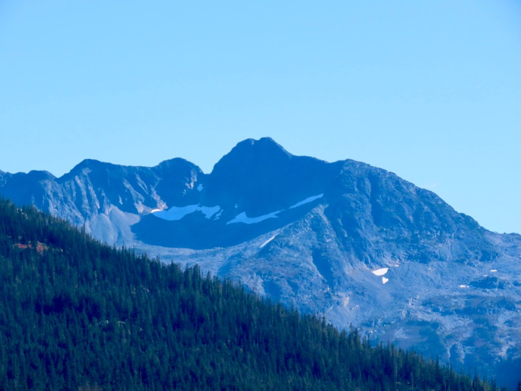
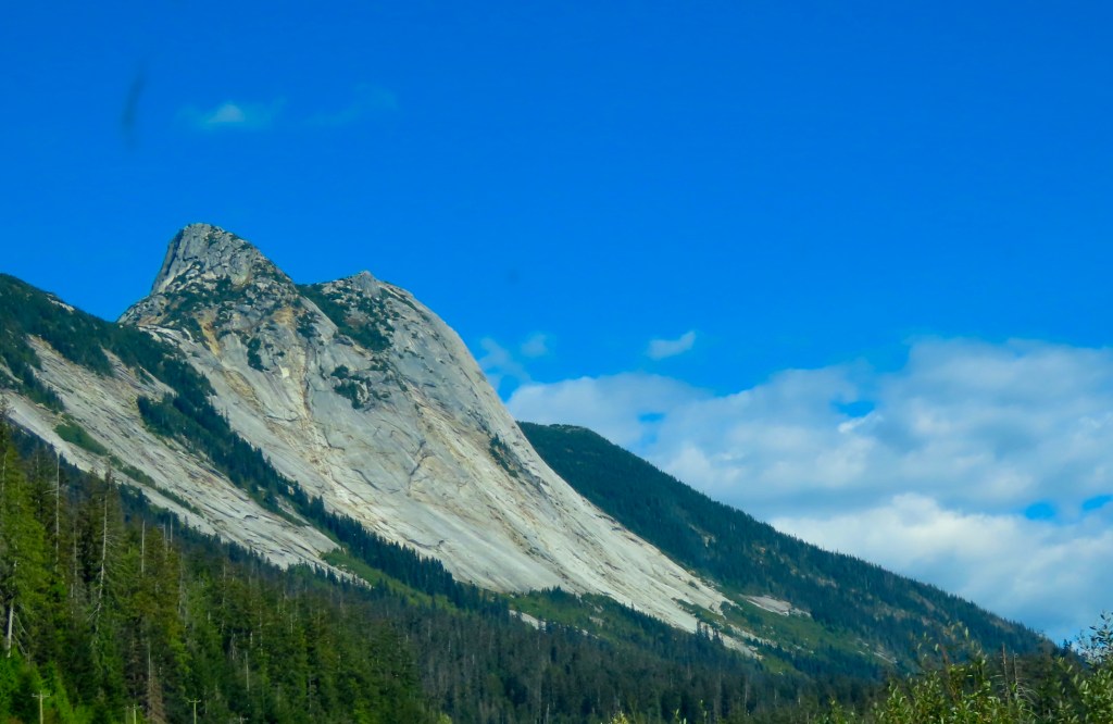
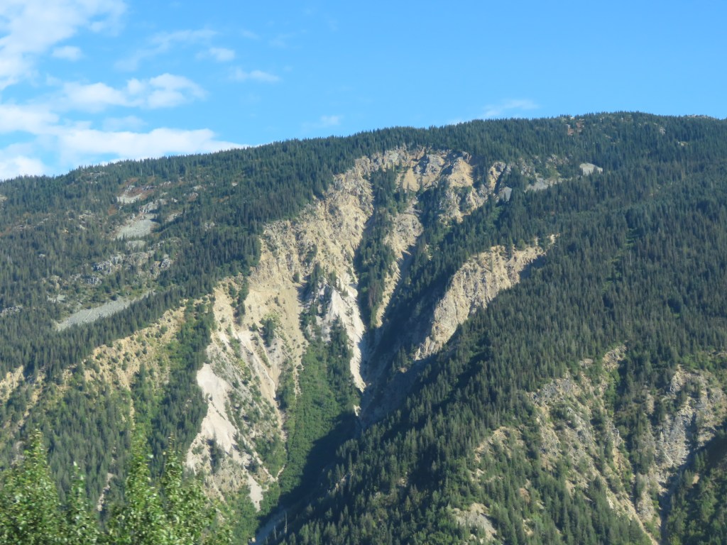
We took TransCanada Highway #1, driving along the eastern side of Fraser River Valley, to a town called Hope, where we got on Yellowhead Highway #5. This took us along the Coquihalla River, which is why the road is also known as the Coquihalla Highway. We climbed several mountain passes over the 100 or so miles along this stretch. Some of it was slow going, but the road was in excellent shape, there was very little traffic and the scenery was spectacular. We saw granite formations, deep crevasses, and even a glacier or two up at the highest point, when the clouds drifted away momentarily.
There were many miles of land scarred by fire, as well. For long stretches, we saw trees right along the side of the road that seemed newly burned, with scarred hills far off into the distance as reminders of the impact.
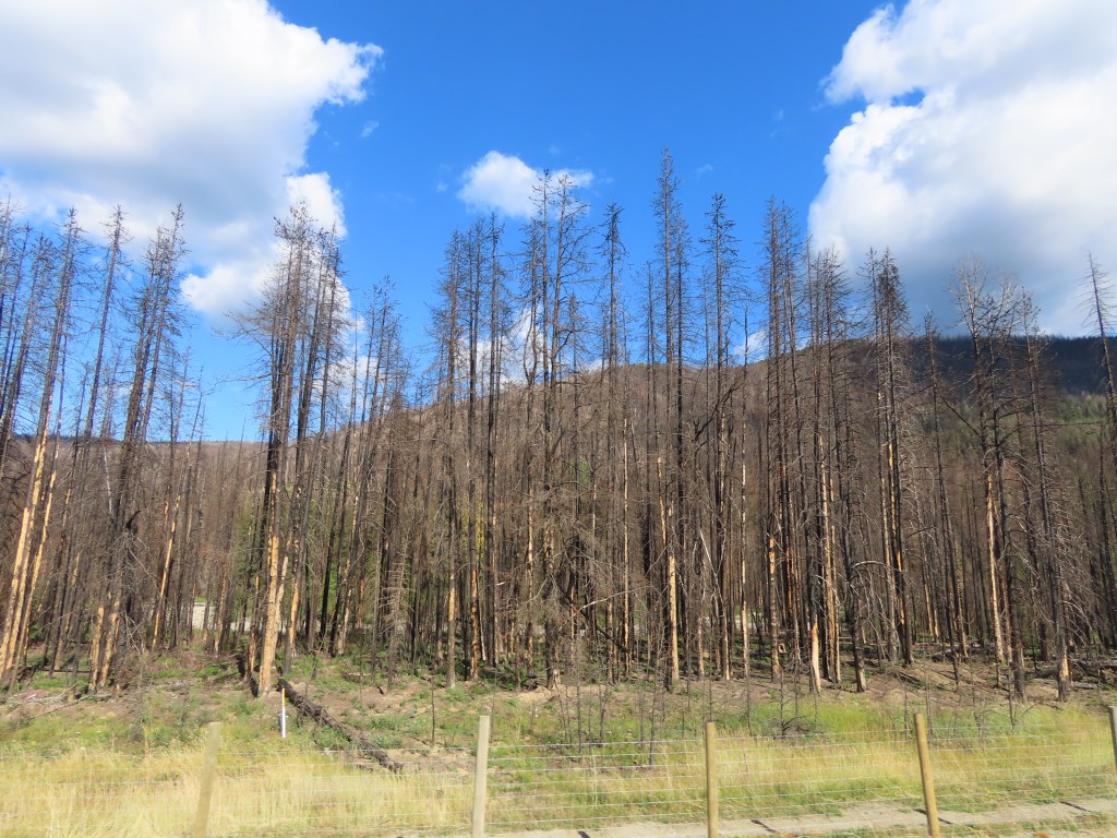
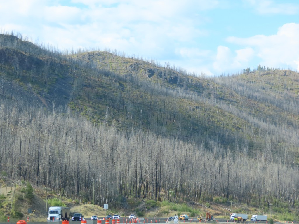
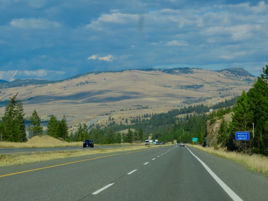
The good news- We saw no evidence of any forest fires currently burning. After about 100 miles or so, we rounded a long bend in the road and the scenery changed dramatically. It was as though we were back in Washington, heading into Wenatchee on the eastern side of the Cascades. The high desert rolled out in hills and plateaus all around us, with a deep gorge below. So deep we couldn’t see the bottom. The highway slowly lowered us into the depths of the Nicola Valley to find the city of Kamloops nestled along the Thompson River.
The city of Kamloops is spread out and climbing some of the less steep hills that line the western side of the river. The city, with its arid, temperate climate boasts more golf courses per capita than anywhere else in Canada. It’s also known as Canada’s tournament capital with a number of world class sporting venues. There’s a 40 km trail along the river for walking and cycling that provides stunning views, especially at sunset, which we made in time to see as we hustled to purchase bear spray for our upcoming hiking adventures. No photographic evidence unfortunately. We were in the moment! As we look back on the day we realized saw more eagles throughout the drive than we’ve seen all summer, with no photographic evidence to offer of them either.


Leave a comment