We’re home!
Day 15, Reunited
September 22
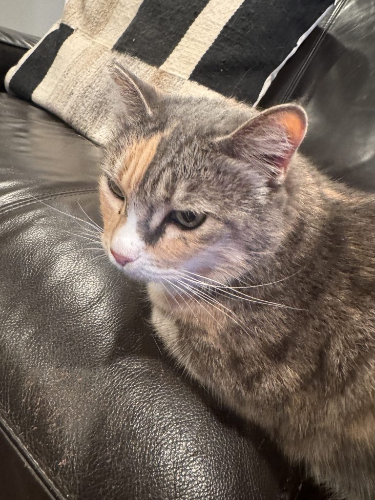
We made it home! That’s the short story.
The longer story is that we had a pretty good drive today through some resplendent countryside, beginning in McCall, Idaho. We found this town to be quite charming and friendly. There’s Lake Payette for summertime water activities as well as ski resorts and a huge ice rink for winter sports of all kinds too. We’re definitely looking forward to returning soon.
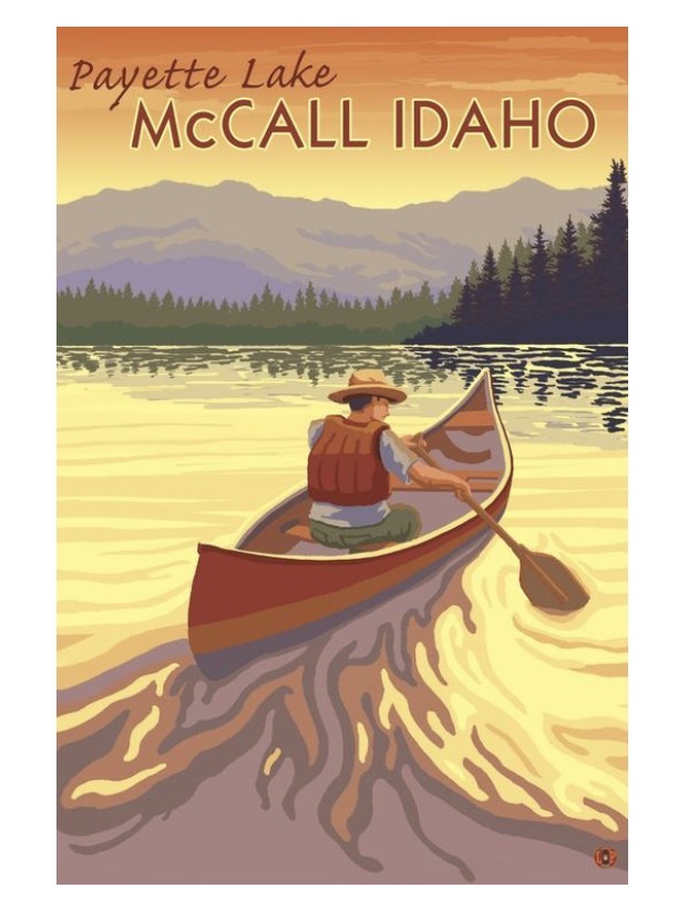
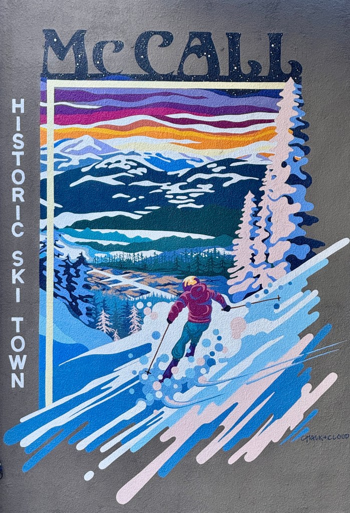
From McCall, we drove northwest to the town of Lewiston Idaho, where we crossed into Washington. We spent most of the day on Highway 26 going through a few small towns along the way, but it was mostly farmland. Potatoes, onions and wheat. Fields as far as we could see on both sides of the road. It was easy driving for Marshall and we listened to a good book most of the time. A good way to wind down the trip.
At Vantage, we hopped on the interstate.
We soon realized we were going to hit Seattle—Tacoma rush hour traffic if we continued our course, so we stopped and had a late lunch/early dinner in North Bend.
Once we were done, it was still bad timing for traffic so we decided to go to Snoqualmie Falls and walk the path to the bottom of the falls for a little post-meal exercise. A ten minute drive from where we ate in North Bend. As we headed down the road we saw a sign “Elk Crossing Next 2 Miles”. We laughed because we’d seen signs like that for 2 weeks and wildlife usually was nowhere near them. Not this time! We rounded the corner and there in a lush green field right off the highway was an entire herd of elk
There were at least a dozen big bulls strutting around with their strong necks holding up gigantic racks of antlers, while the cows lounged around in the grass, batting their pretty eyelashes, just hoping to be chosen by the best male in the group.
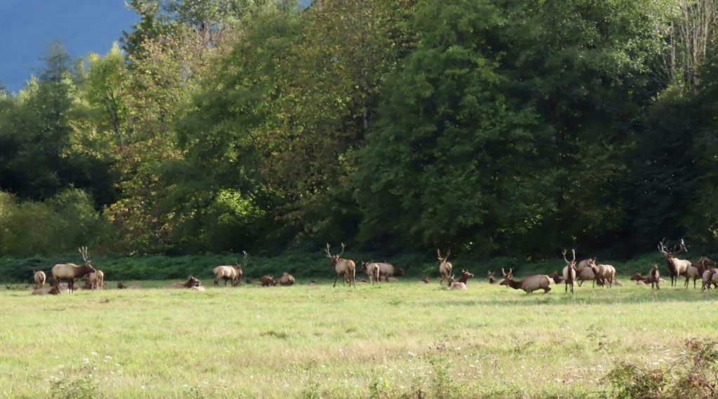
They were magnificent.
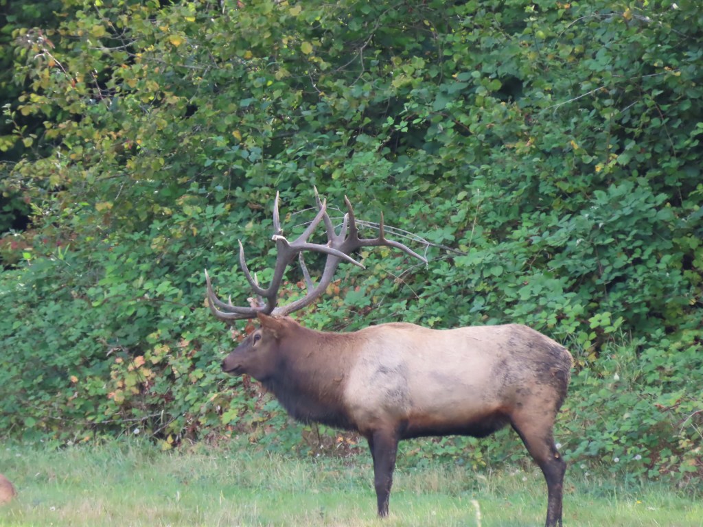
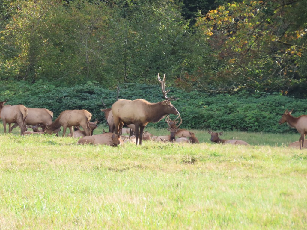
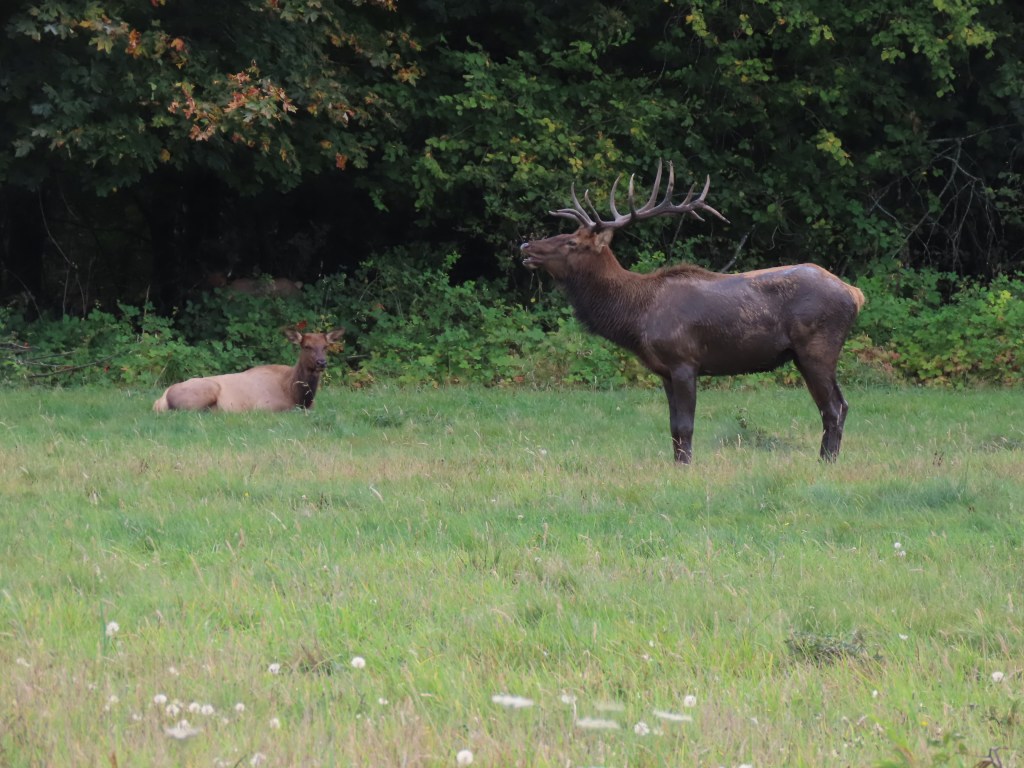
We stood across the highway at a safe distance, along with a group of interested locals who, while enjoying the show, seemed pretty used to it.
After taking a few photos and admiring the herd for a while, we finished our journey to Snoqualmie Falls for our walk. It never disappoints. Isn’t it ironic that after 2 weeks of seeing the best wildlife and natural wonders that Canada and the United States have to offer we come home to be reminded that we have much of the same in our own backyard?
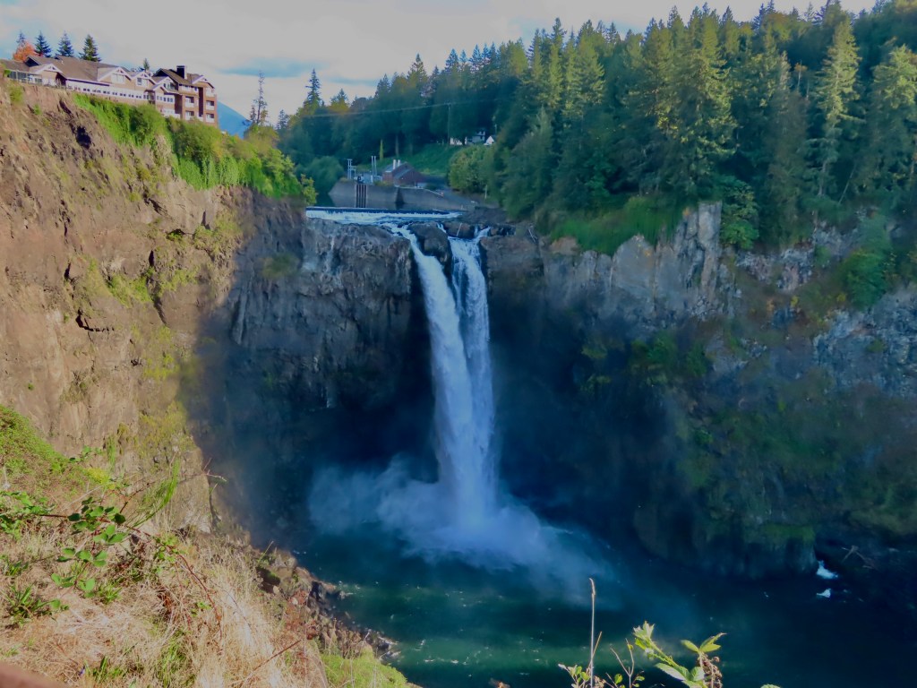
Not to discourage one from going to any of the places we’ve been the past two weeks. More to remind ourselves that, like Dorothy said, “there’s no place like home”.
We’re glad we got to go and it’s good to be back home after making so many memories together these past two weeks.
___________
Day 14, Grand Tetons and Idaho
September 21
We woke up this morning to clear sunny skies and frost on the windows. It got cold last night! We hit the road heading west toward Grand Tetons National Park. The mountains were standing there, glorious, with a large swath of fog across the valley below.
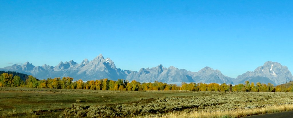
The autumn colors seemed to pop in the brilliance of the sun’s gaze, and the contrast with the fog made us appreciate that today was the last full day of summer.
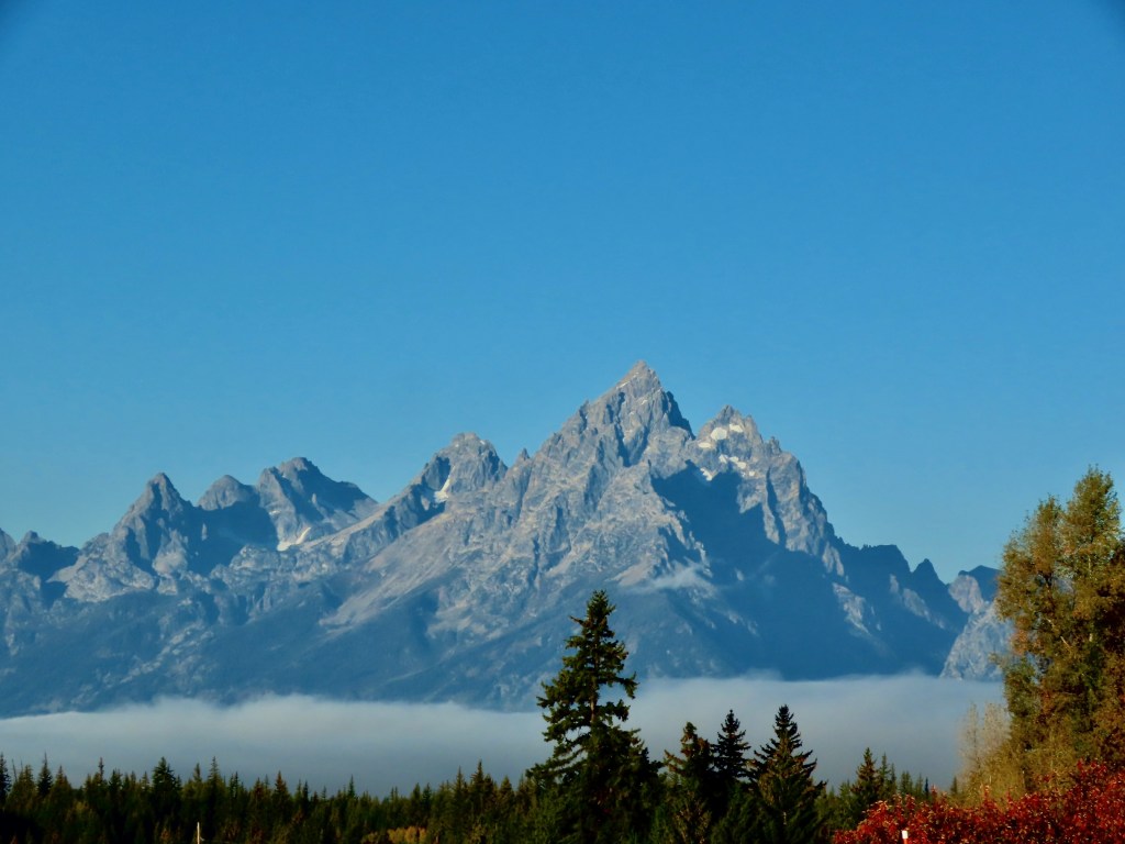
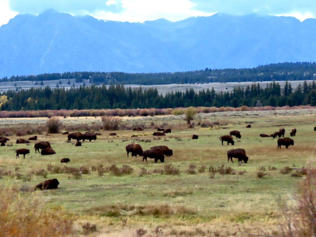
It turned out we had to drive straight into and through that fog before crossing the Grand Teton pass (8431 ft). By the time we were in the thick of it, we came to the same place we saw the large herd of buffalo yesterday. Today, they were shrouded in fog, with their Teton backdrop being completely obscured.
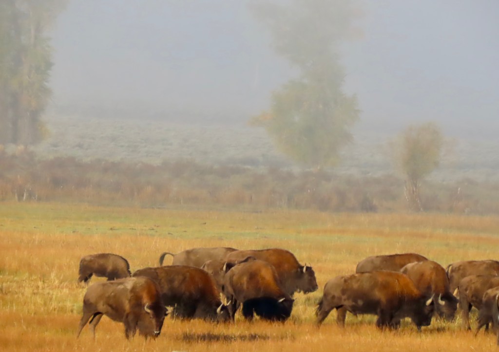
By the time we got to Jackson Hole it was like pea soup. We had a quick breakfast and headed further through the fog toward the pass. It’s such a steep climb that we were above the fog quickly and before we knew it we were in Idaho.
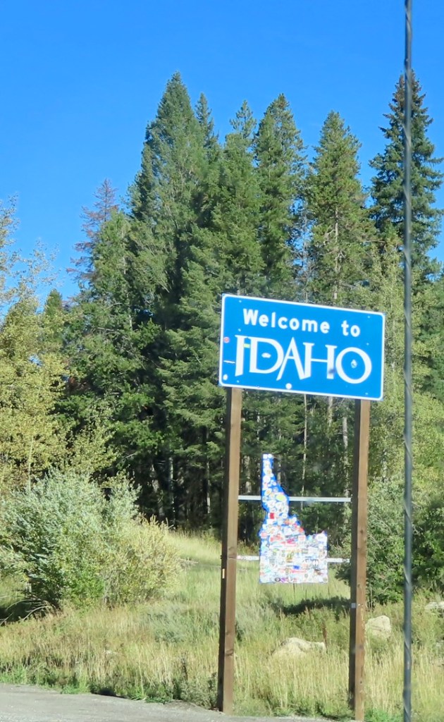
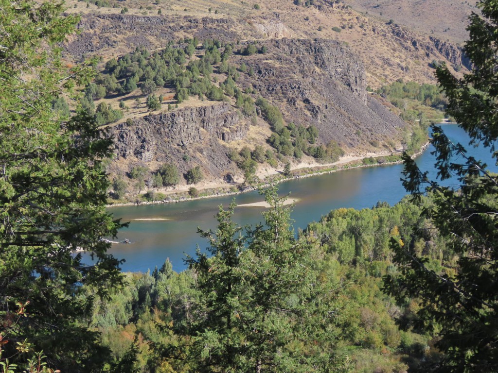
We drove west through Idaho most of the day, along the Snake River as it literally twisted left and right along the highway all the way to Boise.
Much of the terrain away from the river was flat, brown and nondescript, aside from some interesting rock formations here and there.
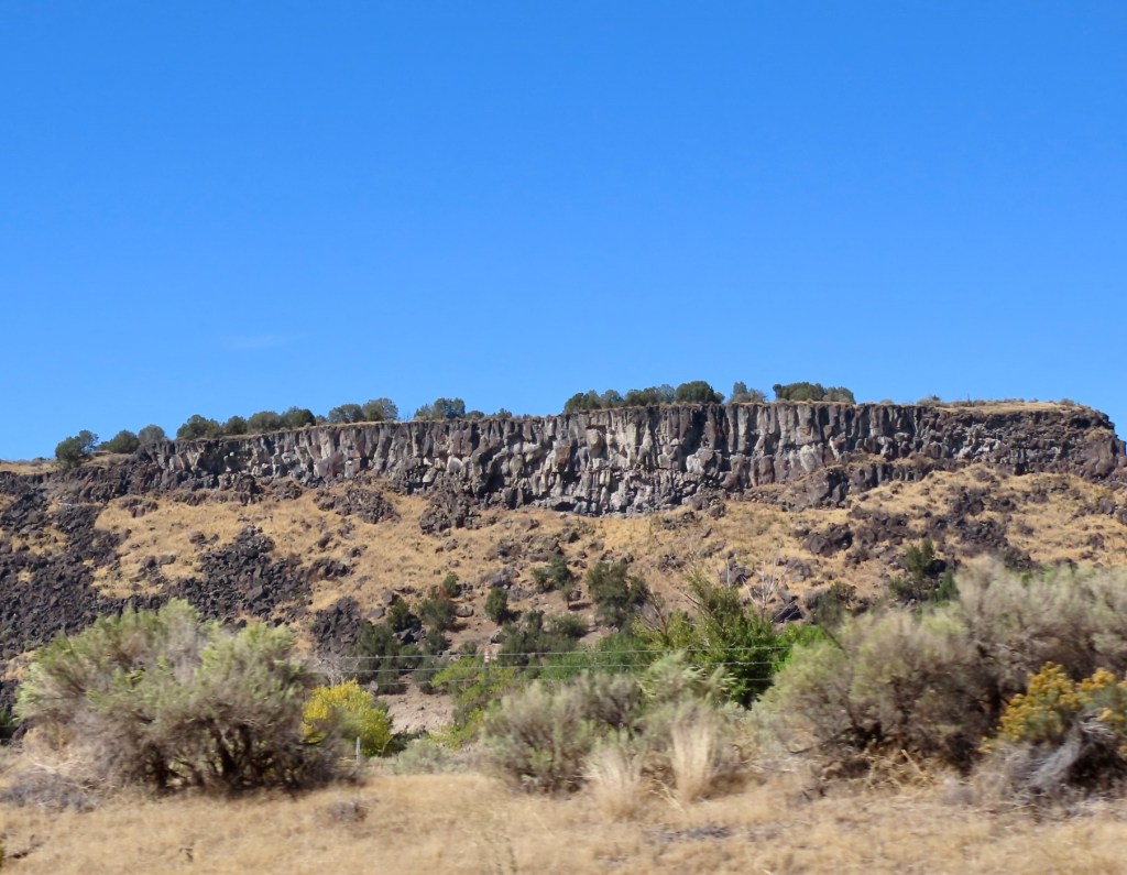
Along the way we came upon the Oregon Trail Museum where we made a quick stop. We also passed the Potato Museum but had used up all our spare time by then, so we had to put that on our list for next time.
From Boise we turned north following the Payette River, where the environment changed dramatically yet again. We climbed up the forest-lined mountain highway for almost a hundred miles. The Payette kept us mesmerized with its thunderous rapids the whole way to the town of McCall, where it flows out of Payette Lake.
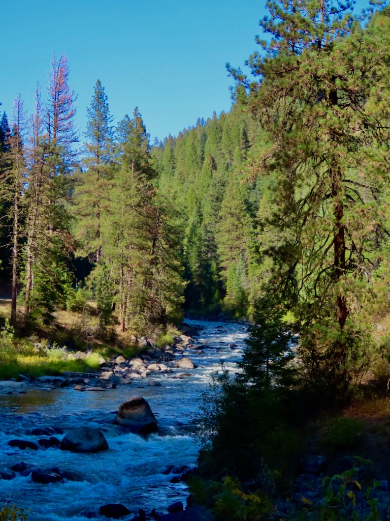
We will pick up our journey homeward in the morning.
___________
Day 13, Yellowstone NP -Day 3 and Grand Tetons
September 20
Today was another day of no expectations and our minds being completely blown. We began with breakfast in Grand Teton National Park because it’s near our little cabin and the same road took us from the Tetons to the area of Yellowstone we wanted to visit. Low clouds socked in all our views of the Tetons but we knew the day was just getting started so we’d see more eventually.
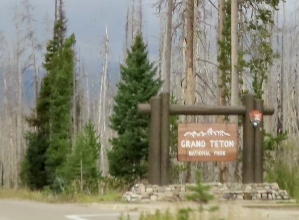
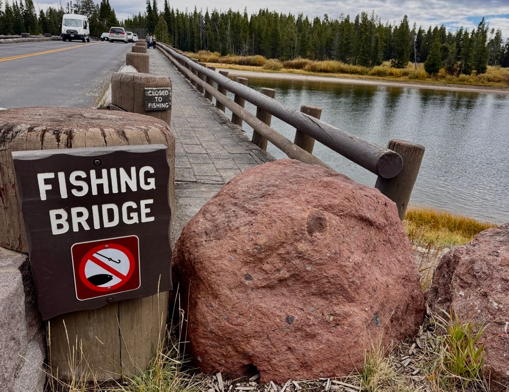
We ended up making it all the way to the eastern entrance of the park, after passing the northern shoreline of Yellowstone Lake. We did a couple walks along the water, where we saw ducks and other shorebirds. We came to the spot where the Yellowstone River begins as it comes out of the lake. There’s a fishing bridge there.
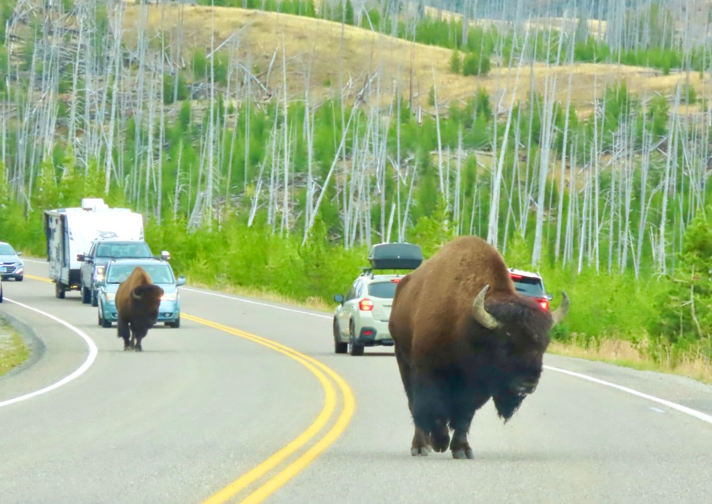
The road after the fishing bridge became less populated with cars, as we climbed hill after hill to 8600 ft in elevation. We saw some spectacular views all across the valleys below in every direction. As we continued east and began to descend, we saw several cars stopped in the road, in both directions. We knew there was wildlife nearby. We stopped when we saw these two big boys come walking between a couple cars. They walked right past us, as we stared, frozen, our hearts racing.
At that point I was ready to come home. I’d had enough excitement for the day. But we were only 15 miles from our destination of the eastern entrance, and Marshall said to me, “I’d hate to turn around now and miss some more cool wildlife.”
Fair point but how do you top what just happened? You top it with this:
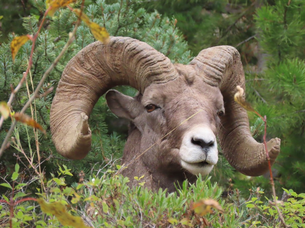
Around 5 miles down the road there was a bachelor group of bighorn sheep, bedded down in the undergrowth on a rocky outcropping above the highway. They stared at us like we were aliens, as they yawned and ate the plants around them. Just four bachelor dudes chilling on a Sunday afternoon. We were ecstatic.
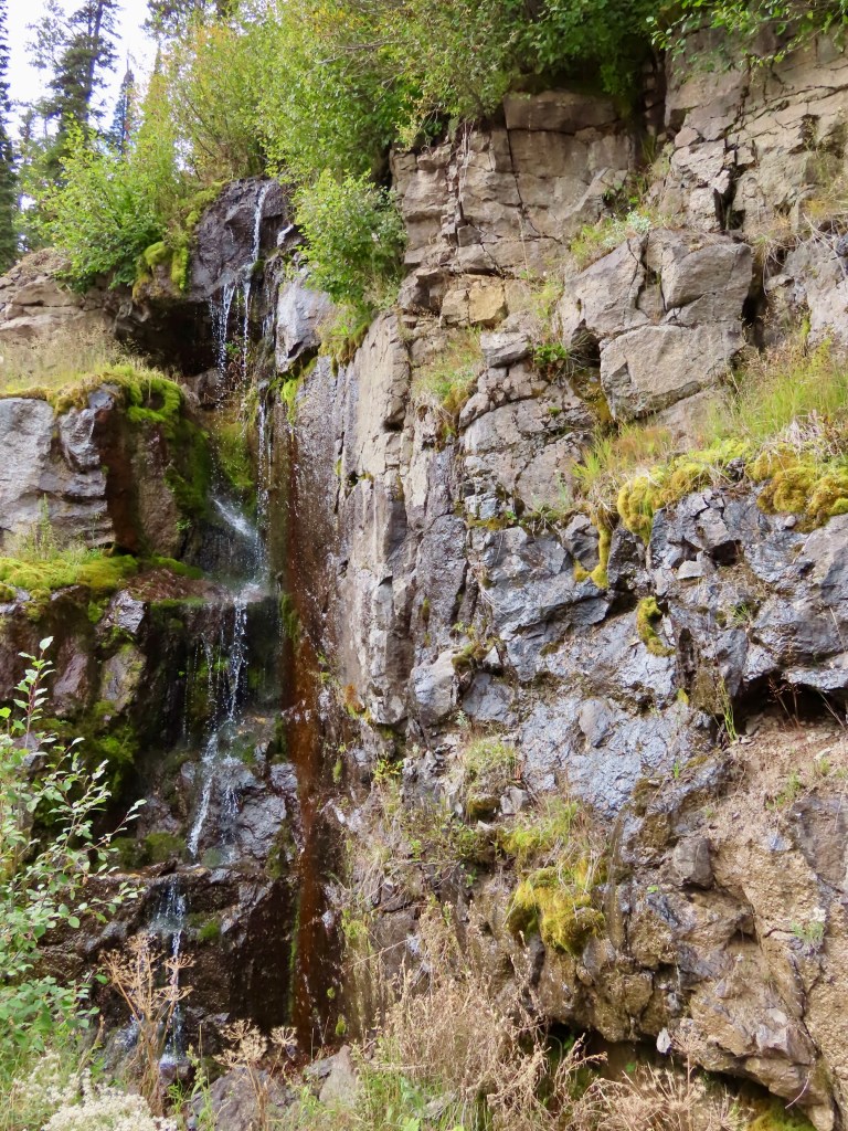
We reached the eastern entrance and turned around to drive back. Along the way we saw a few more waterfalls.
The clouds had lifted from around the Grand Tetons so we had our first glimpses of their true enormity. Add in an entire herd of Buffalo frolicking in their shadows and we had a full day under our belts. What more could we ask for?
We head west tomorrow as our journey begins to wind down. Not sure what we will encounter, but we’re sure excited to find out.
___________
Day 12, Yellowstone National Park – Day 2
September 19
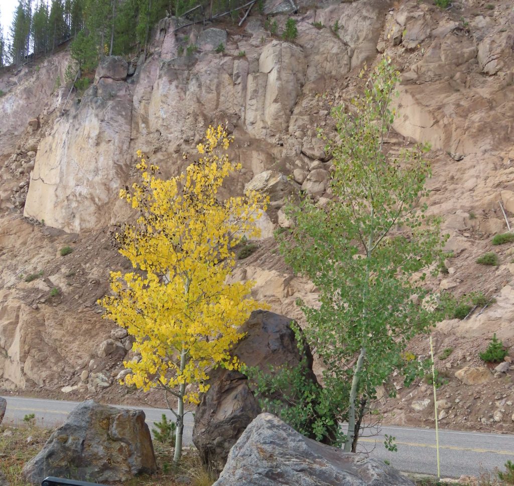
We started and ended the day today driving through heavy showers, but from 10 am – 5 pm we had sunny breezy weather with puffy clouds. Besides, we’re from the PNW so we knew a little water couldn’t deter us. We drove the southern loop of the park which has many more views of forests, several huge waterfalls, and a lot more fall colors than we saw yesterday in the north.
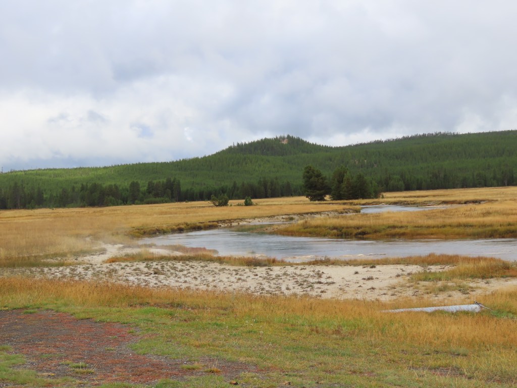
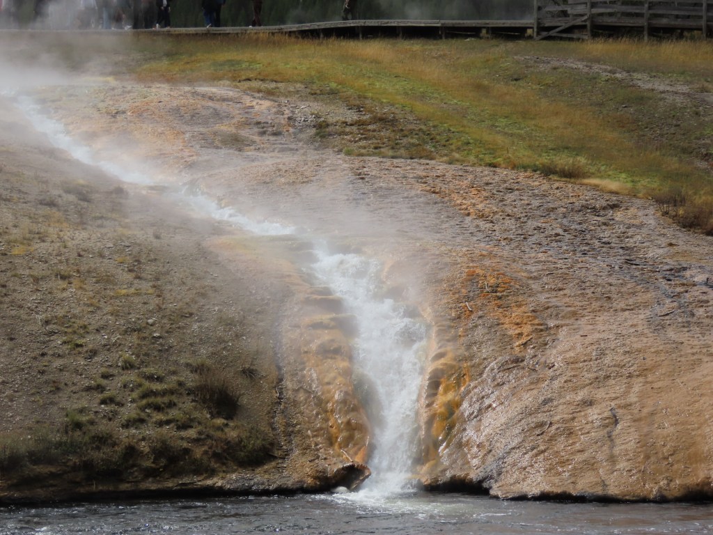
As we viewed all that, we also tried to concentrate a lot of our attention on geysers. We saw several different ways the earth can propel water into the air. We learned that the geysers of Yellowstone all need an active heat source, abundant water, and fractures that are kept open by frequent earthquakes. The blend of these elements-heat, water, fractures, and earthquakes is unique.Each geyser has its own underground story and above ground show.
With that knowledge, here are just a few of the geysers we visited.
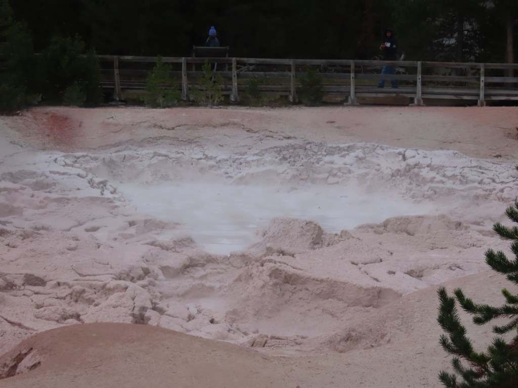
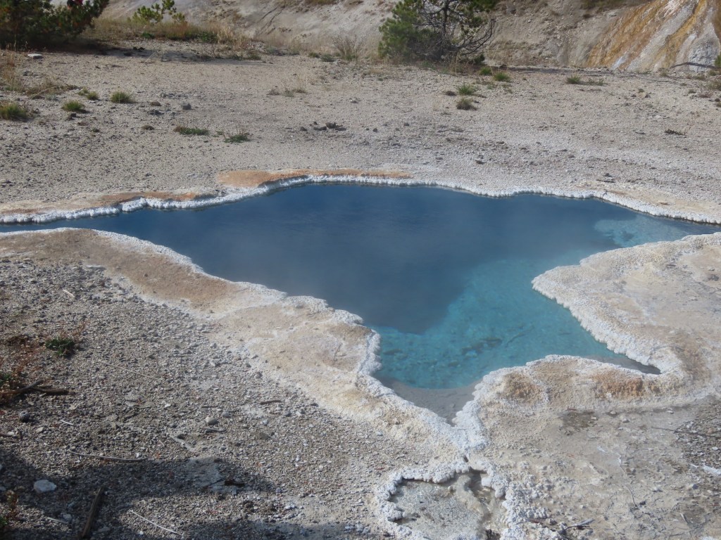
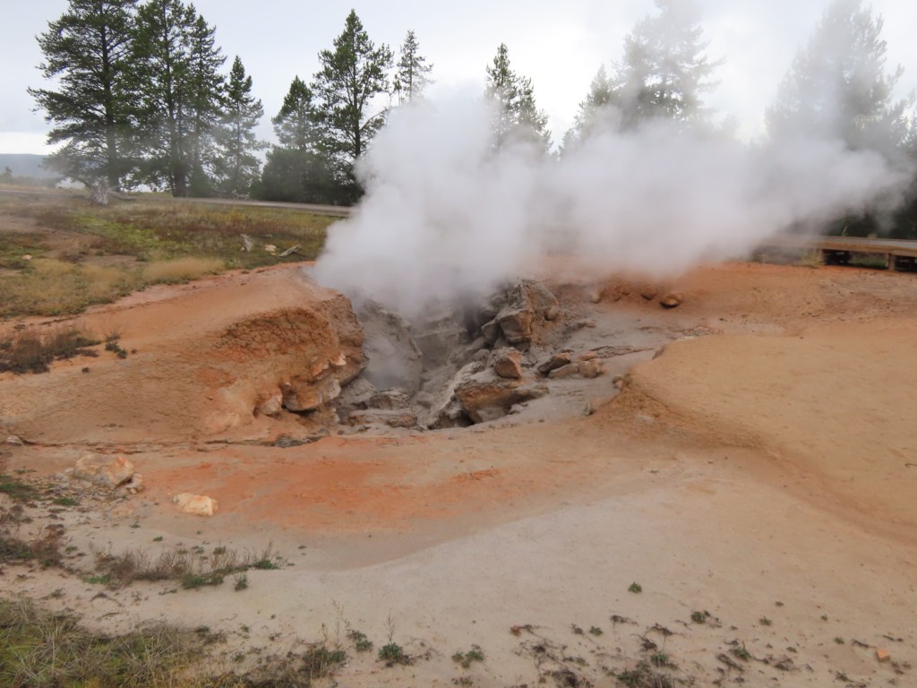
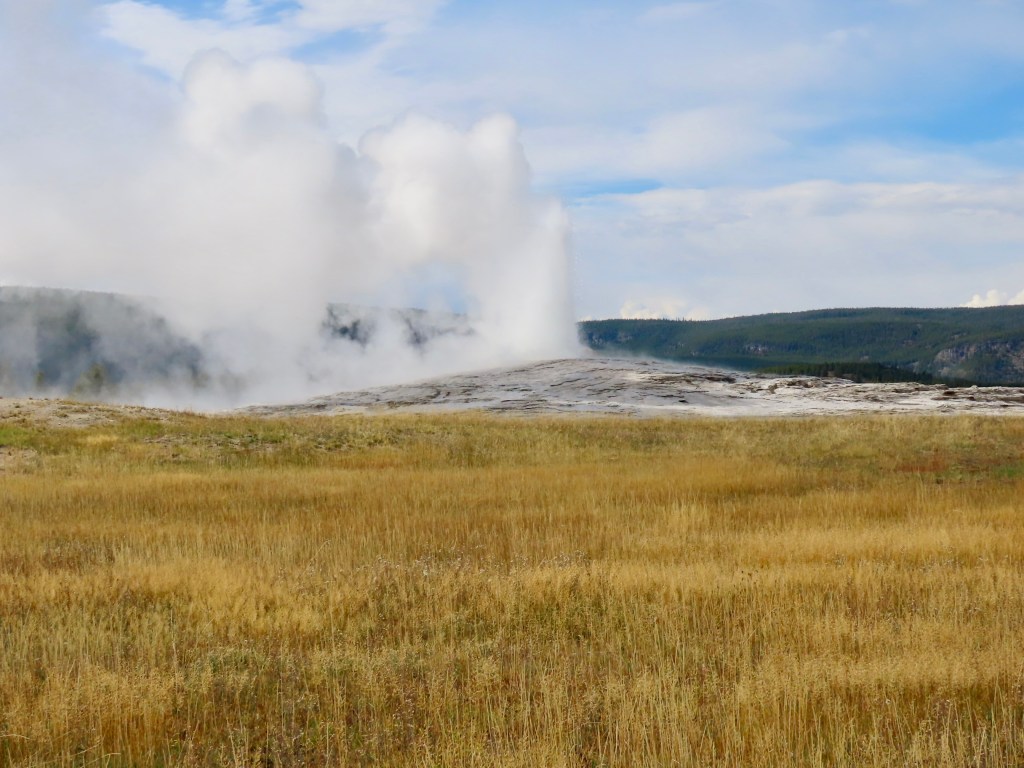
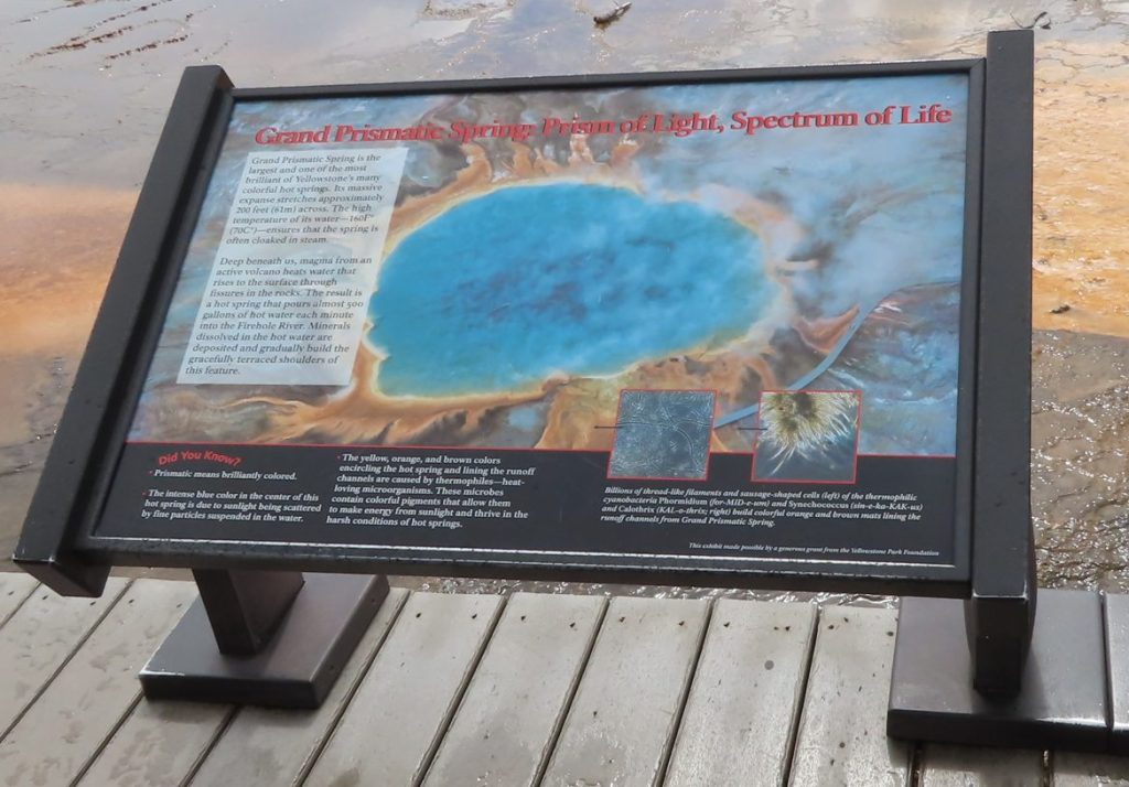
We saw several other geysers but the steam was so extensive we couldn’t see much. We were told that this isn’t typical- that because it was so rainy earlier and humid after the rain that the steam was much stronger than usual. The big draw was the Grand Prismatic Spring but it was completely obscured. Here’s the photo I took there, because we couldn’t see the real deal.
We did see a few more buffalo today, each of which was eating grass near the road.
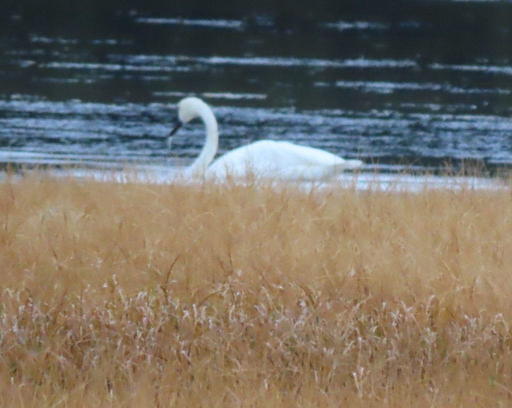
Today we saw Swan Lake which had actual swans swimming in it. Yellowstone has been working to improve the swan population in the park and it’s paying off. Here’s a better swan photo than yesterday’s.
This park has so many great parts of the American environment, and we’re so glad it was preserved for everyone to enjoy.
I wish John Muir and Theodore Roosevelt were here to thank personally. The National Parks are their gift to us all.
We ended our day at the southern park entrance and a beautiful cabin in Wyoming. Much more to come!
_____________
Day 11, Yellowstone National Park-Day 1
Today we spent twelve hours in Yellowstone and yet there’s so much more to see. The thing about Yellowstone is IT’S EVERYTHING.
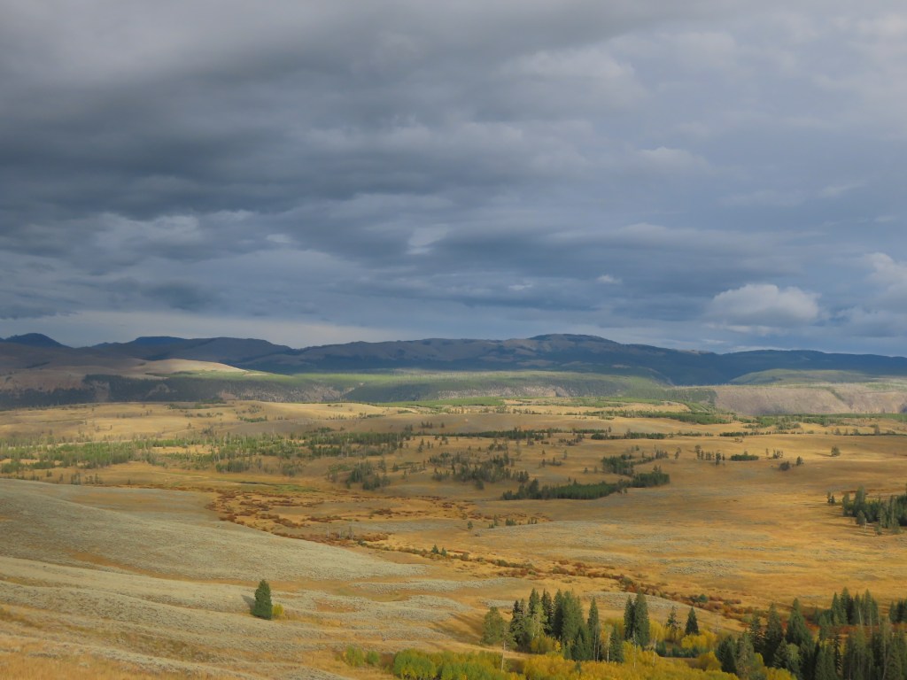
It’s mountains and forest and rivers and waterfalls and geological anomalies and animals and birds and plants and EVERYTHING. I’m going to try to sum up the day, and I’m sure I’ll have to leave a lot out just so I can get to bed eventually.
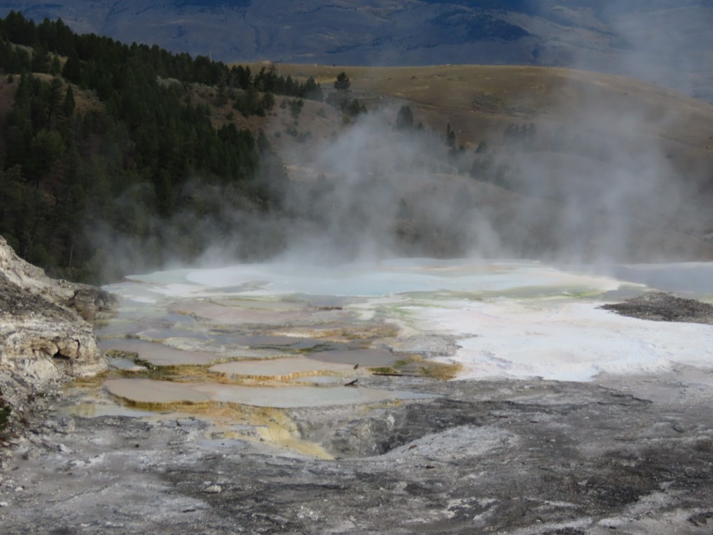
We got started early and were through the northern entrance of the park by 7:30. We had breakfast at the Mammoth Hot Springs Dining Room, an art deco style restaurant with a civilized sit-down breakfast that you wouldn’t expect in a US National Park. The food was fantastic and the service even better. After breakfast we walked over to check out the actual hot springs which are otherworldly.
We decided to make a goal of getting to Yellowstone Falls by the end of the day. The first rule of Yellowstone should be “abandon all goals” because something amazing is around every corner that can disrupt your plans.
Spoiler alert – we DID eventually make it to Yellowstone Falls, but we had lots of cool stuff to distract us along the way. First distraction- mountain goats. We quickly learned that when you come around a curve in the road to see a dozen cars parked at a turnout with everyone looking way up a hillside pointing and aiming cameras we should check it out. Wish we could have gotten some good photos but they were moving between trees and far away, but what an experience!
We traveled on and soon came to the Obsidian Cliffs, where for thousands of years people made tools and arrowheads using the black volcanic glass found here.
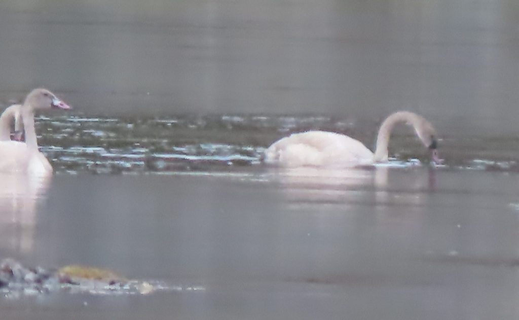
I’m happy to report that we saw lots of birds today—bald eagles, trumpeter swans, red-tailed hawks, pintail ducks, grebes, even a robin and a blackbird.
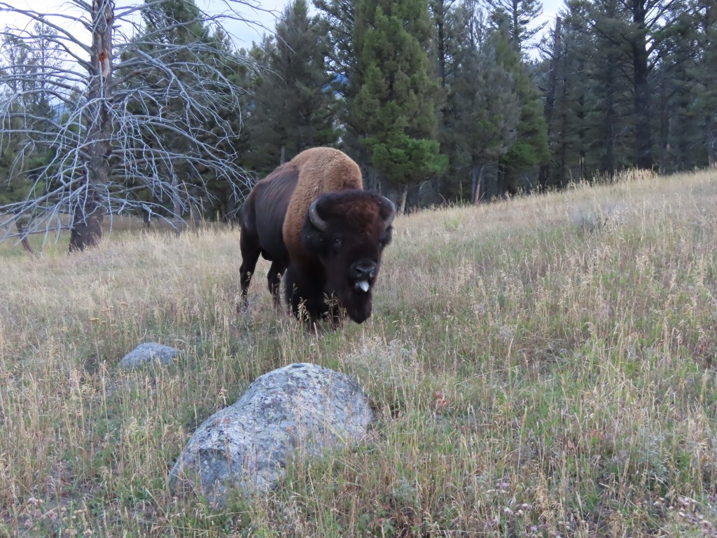
The first time we saw a bison my heart nearly jumped up out of my throat. It was pretty far away so we were safe and could still get some great photos. After that we started seeing them often on hills or in meadows along the road, all at a distance. As we were on our way out of the park, however, there was one right next to the road. He was standing there sticking his tongue out at us and grunting, so how could we resist? These magnificent creatures just want to be left alone so after a quick snap we were happy to oblige him.
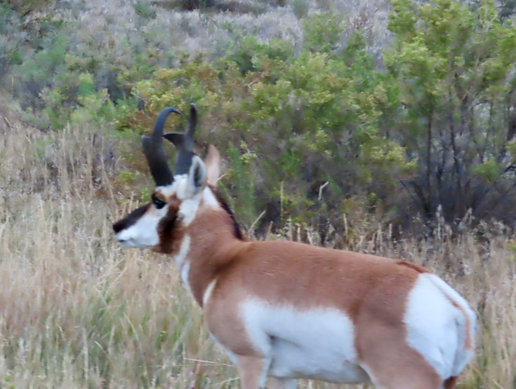
Along the way we also saw elk, deer, and pronghorn antelope.
At the visitors center we learned about volcanic activity in the park and how Yellowstone was formed which was fascinating.
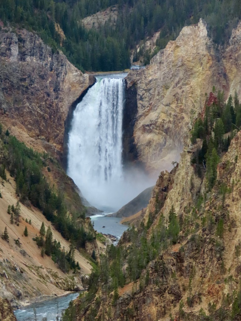
We saw Yellowstone Lake, the Yellowstone River and finally Yellowstone Falls, along with a couple other amazing waterfalls. I know this sounds like just a big list of stuff, but Yellowstone is so much everything, I could never fit it all in here.
It was a full day of complete sensory overload, and we only saw a small loop in the northern half of the park. Tomorrow, we head south for more exploring, because there’s so much more to see!
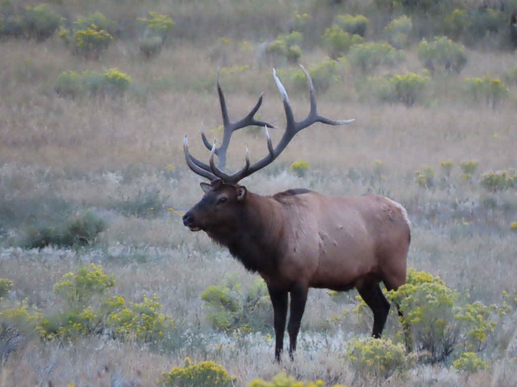
At the park exit, this guy stood bugling to his nearby lady friend. Goodnight loverboy!
___________
Day 10, On the Road Again
September 17
Today we drove through much of the state of Montana, from Columbia Falls to Gardiner. A looonnnnnnggggggg drive, but we took a very scenic route. We can now assure you it’s as big and beautiful as advertised. We felt like we had the whole state to ourselves as we drove. The terrain changed often, starting with forests lined with Aspen, Douglas Fir and Spruce trees. Soon we were seeing rolling hills and Ponderosa Pines, Larches and Tamaracks. Eventually farm fields, cattle ranches, and open prairie.
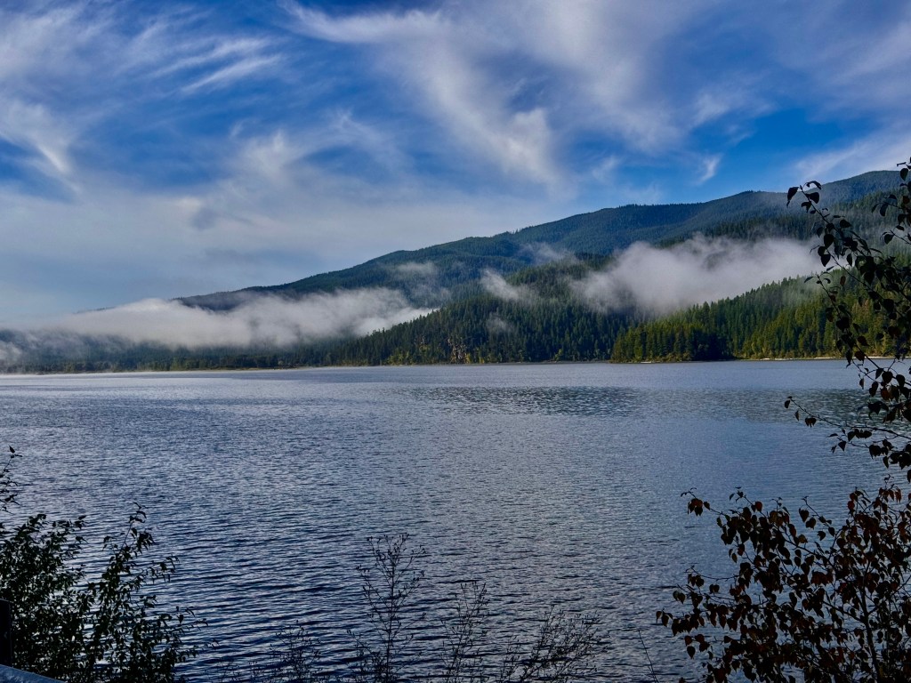
We went by Swan Lake, an enormous body of water, shrouded in fog, where we didn’t see a single swan. But the nickname “big sky country” is well-earned.
A note about wildlife- this is our tenth day of this trip and we’ve been shocked by how little of the animal kingdom we’ve seen out here in the wilderness. Yes we saw a few elk, the moose, and the bear yesterday was a highlight. But with all the water we’ve seen, the only birds we’ve seen since day 1 when we saw so many eagles have been our friends the crows.
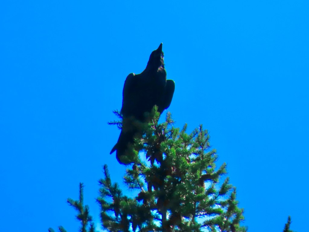
Today we saw a large group(flock? gaggle?) of wild turkeys right next to the road, a few deer, possibly some sleeping buffalo, and a herd of elk, but the only other birds we saw were crows, an occasional magpie and turkey vultures. Lucky for the wild turkeys, the turkey vultures we saw much later in the day, in a distant territory. Back at home we see so many other types of birds and waterfowl, so it’s been a surprise that there have been so few along they way. While there’s been plenty of livestock, the wildlife is mostly hiding, and probably in plain sight!
On the approach to Gardiner we followed along the striking Yellowstone River, which meandered for many miles – tantalizing us about our upcoming adventures in the park. We pulled up to our next home away from home just in time for dinner, and as we walked around town afterwards, we saw several more elk and deer, grazing in yards, unbothered by the humans all around.
Excited for tomorrow when we head into Yellowstone’s north gate for the first day of exploring there. Stay tuned!
___________
Day 9, Glacier National Park
September 16
Our day began with a drive along US Highway 2, which it turns out, connects us to home.. It continues west all the way through Washington state, across the Cascade mountains and ends at the port of Everett. Here in Montana we drove east from the town of Columbia Falls to the western Glacier NP entrance. We drove through the park on The Going to the Sun Road, which cuts a scenic trail across the width of the park.
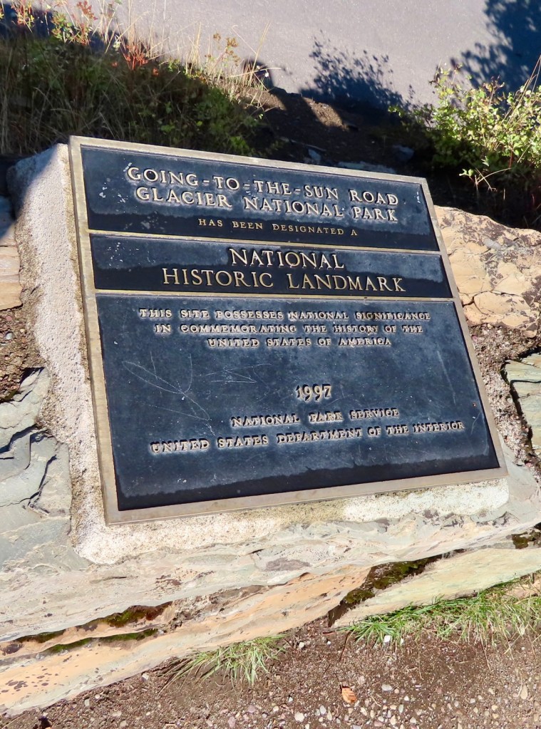
The term “scenic” is such an understatement. It’s like saying the Titanic is a boat. The landscape is vast. Ironically Glacier National Park isn’t a great place to see glaciers. There are 26 glaciers remaining in the park out of the original 80 or so when the park was first established. Most of the 26 are relatively small and can only be seen by doing a wilderness backpacking trip. We weren’t up for that, but we did get to see one, The Jackson Glacier, from a roadside viewpoint. Compared to what we saw on the Icefields Parkway a few days ago, it’s tiny. But still beautiful.
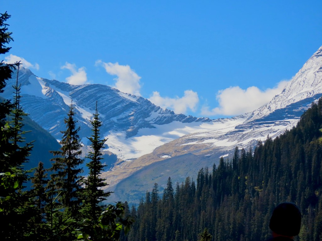
There was so much more to view, so let me backup and start at the beginning now that we’ve got the “glacier” issue covered.
The entrance to the park follows along the Flathead River. Just a mile or two later, we came upon Lake McDonald with its glassy, reflective waters and further down the road, McDonald Creek and McDonald Falls. These have nothing to do with fast food! They were named for Duncan McDonald, a fur trader with the Hudson’s Bay Company.
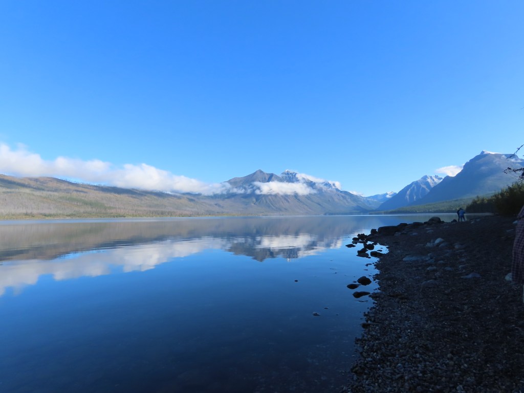
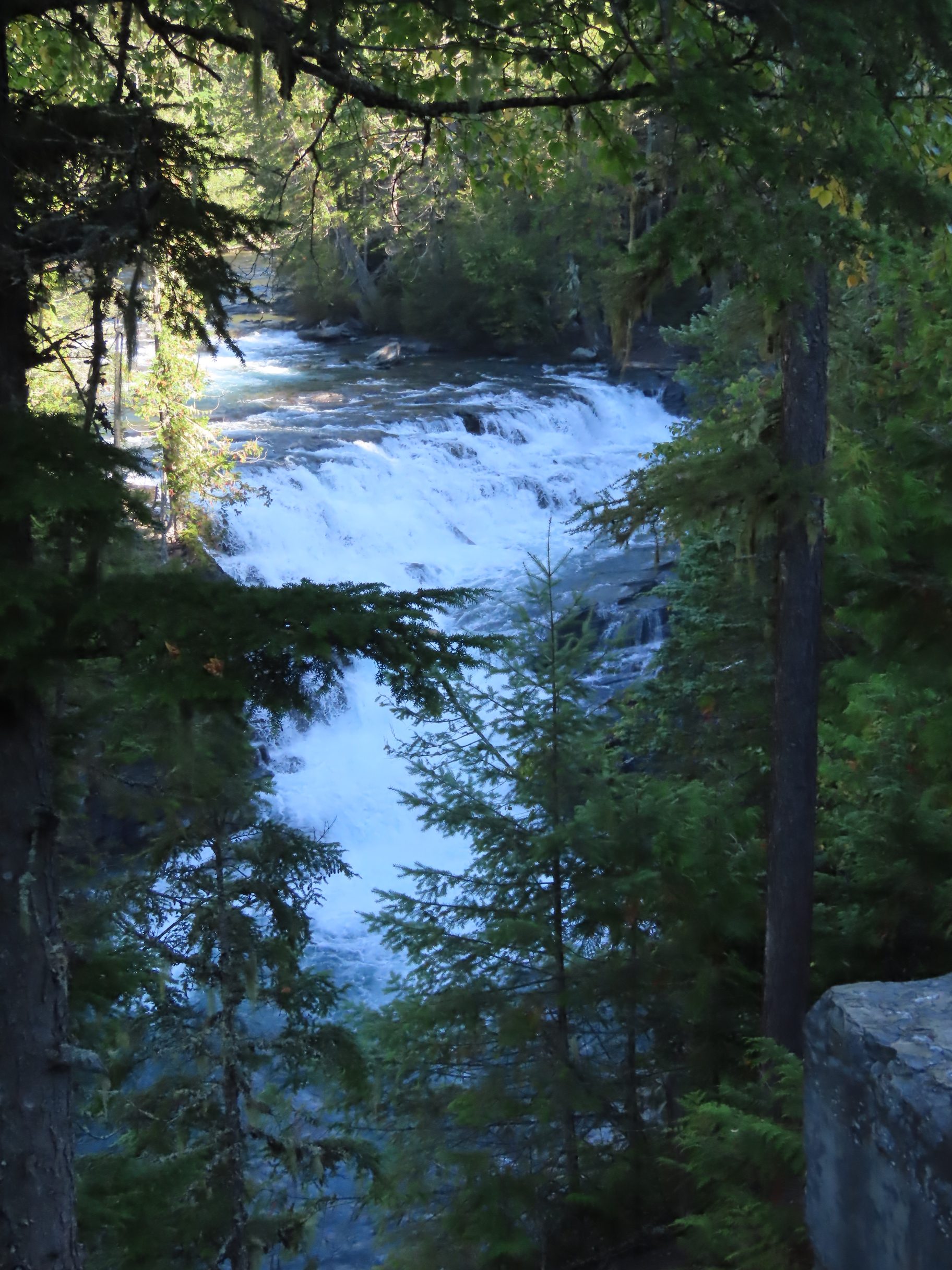
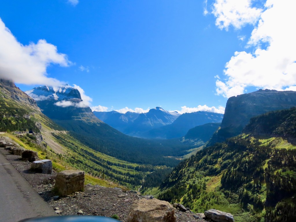
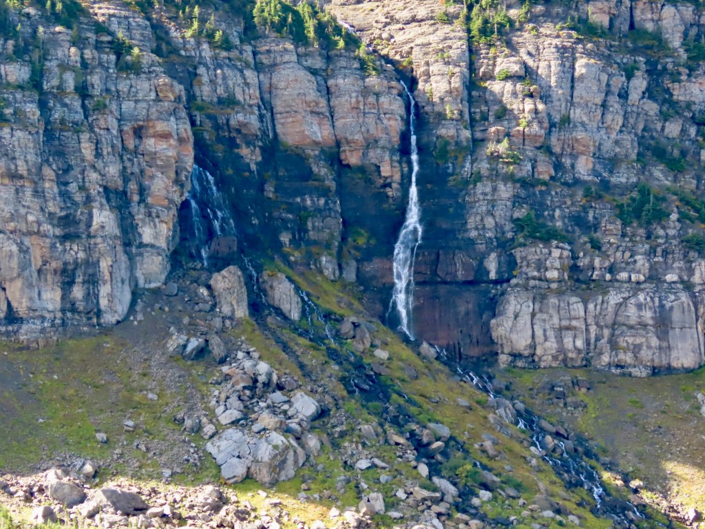
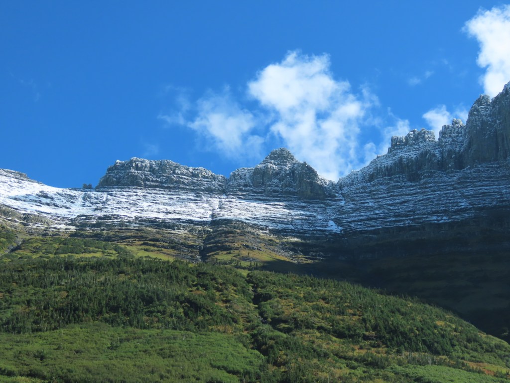
Going To the Sun Road quickly began climbing in elevation and soon the narrow, 2-lane road was twisting and turning through a number of ridges where we could see mountains, valleys and waterfalls from every angle. There were a lot of people but apparently just a fraction of the summer crowds. It was a picture perfect day, sunny and bright. So I’ll just share a few photos here so you get the idea, with the caveat that they don’t do the scenery justice.
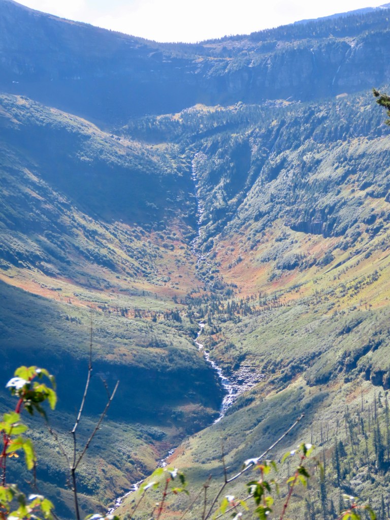
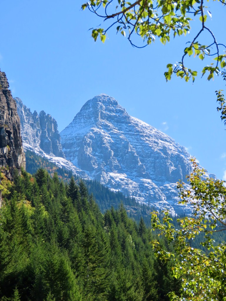
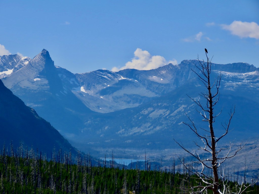
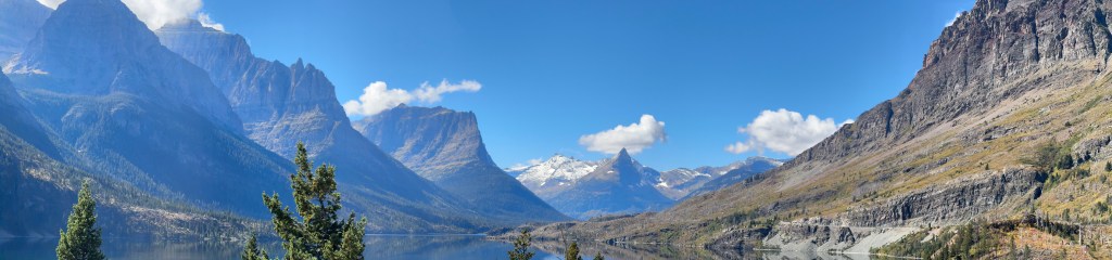
The panoramic photo of the day was taken by Marshall:
Instead of turning around and driving the same route back, we went out of the park on the eastern boundary and made a huge loop through the wilderness. The road less traveled, you might say. We saw very few other vehicles for many miles, and the speed limit was low because of the terrain. At one point, we came around a curve and saw 5 or 6 cars pulled over with folks looking up the hillside. Marshall spotted the object of their attention immediately- a black bear. Just hanging out, being a bear.
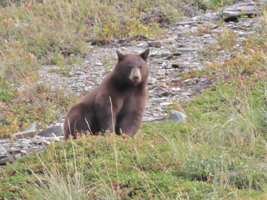
Now, he’d been looking for wildlife all day in the park, but it wasn’t until we were well away from the area that this encounter took place. We were at a very safe distance with a good telephoto lens. Just as it should be.
What a day! What an epic, epic day.
___________
Day 8, A full day of driving
September 15
We got up this morning expecting to have a full day on the road. We certainly had our expectations met there! We drove through some beautiful terrain, mostly on the eastern edge of British Columbi in the Kootenay National Park but it was rainy with low clouds nearly the entire day. So we couldn’t see much.
We stopped at the continental divide for a brief photo op, but it was really pouring and for some reason, the sign is painted in two different shades of yellow, so it’s very hard to read. That’s the thing about travel. Some days things just go a little wonky.
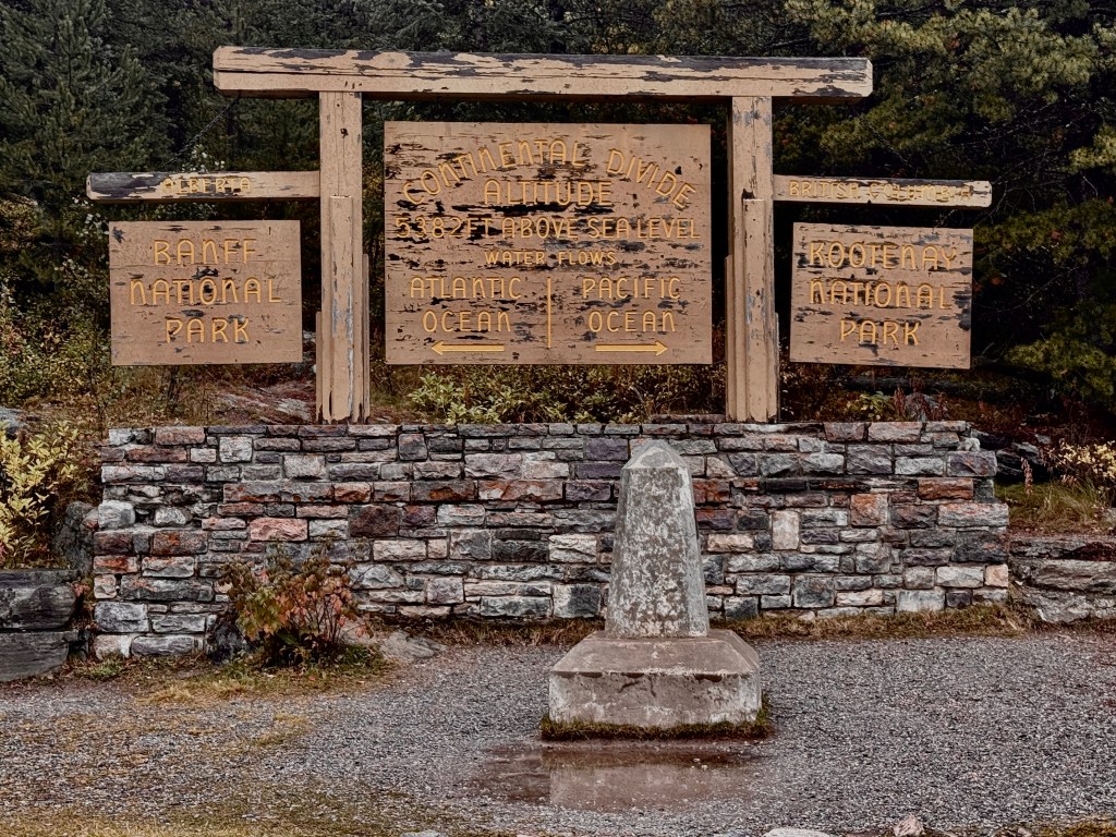
We had a good drive anyway. A couple of other highlights: we saw a dozen or so Clydesdale horses grazing in a pasture, and we passed through the town of Canal Flats, BC which boasts that it is the source of the mighty Columbia River. We also made it across the border into Montana without a wait!
Early in the day, we remembered another item for our list of things we will miss about Canada — their ketchup. It’s wonderfully tomato-y. It’s so delicious that they sell tshirts that say “ I’d like some ketchup on my ketchup “
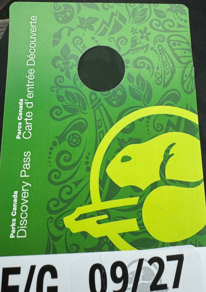
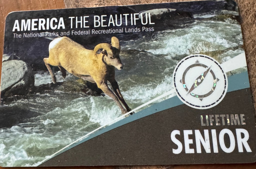
Tomorrow will be more exciting. We will be swapping our Canadian National Park pass with the US version and heading into Glacier National Park
___________
Day 7, our last full day in Canada 🇨🇦
September 14
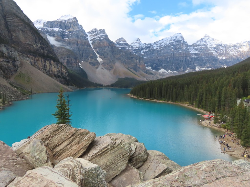
Today we got an early start so we could go to Moraine Lake. I had purchased tickets to take a charter bus at 9am without realizing we were staying about an hours drive from the pickup site so we were out the door by 7:30 to catch it in time. You can’t drive your own car up there so after the beautiful twenty minute bus ride, we arrived to see hundreds of others already there and a bit of a chaotic scene. Once we got past that initial disembarking situation we got out of the fray.
We walked up about a half mile staircase called The Rockpile Trail which is known for an iconic view which you’ve probably seen so I won’t bore you with it. What? You haven’t? Okay here’s the shot:
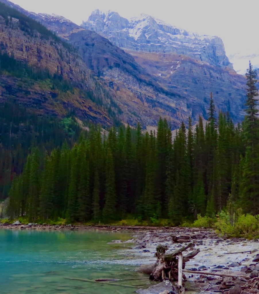
After we got down from The Rockpile, we walked along the lakeshore trail as far as we could, which was where water from Moraine Glacier pours into the lake. How cool is that?!?
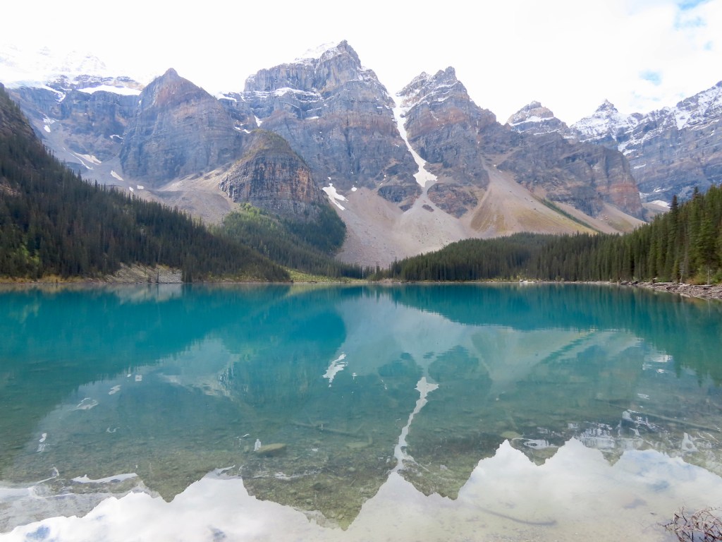
We had a picnic lunch on a shoreside rock on the way back. By then the sun was starting to shine after a morning of cloudy skies. As we ate we realized we could see a perfect reflection of the mountains in the lake – an image I hope to remember forever.
We had a beautiful drive back at the end of the day, through the Bow Valley Parkway, a scenic ‘off the beaten track’ route. Knowing we’re heading back to the US tomorrow for a couple days in Glacier National Park, we talked about all the things we will miss from our time here in Canada. I wrote a few of them down.
- The people, so friendly, welcoming and caring
- The scenery, which, as you’ve seen is mind boggling
- Converting Kilometers per Hour to Miles per Hour
- Poutine
- The exchange rate
- Canadian (lack of) traffic
- Converting Celsius to Fahrenheit
- The complete lack of litter-such clean roads, streets and highways
- Washrooms at every turnout on the road
- The chance to see moose
- Lush vegetation
- Crows the size of Foghorn Leghorn
- The lack of clear-cut logging
- Road closures to allow animals their space in certain seasons
- Complete lack of graffiti
- The views – the views – the views
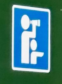
- The cute little icon on road signs they use to tell you there’s a view coming up worth checking out
- The country of Canada, which has so much to be proud of🇨🇦
___________
Day 6, Banff National Park
September 13
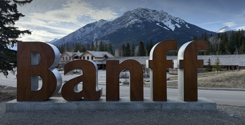
Our Sunday began with a gorgeous sunrise view from our cozy cottage as we enjoyed our first morning coffee in Banff. The vibe here is different from Jasper. Less rustic, more pretentious, but we found that folks in Canmore were much more our style. We had a brisk walk, an amazing breakfast with poached eggs that would rival my Aunt Ann’s, and felt hugged from the brilliant, sun streaked mountains surrounding us.
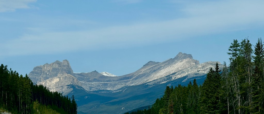
We looked up top things to do in Banff and made a day of it. First stop: Lake Louise.
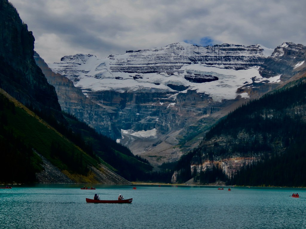
Lake Louise is a glacial lake, almost 7 miles from Alberta’s border with British Columbia. You probably already know that Lake Louise is named after the Princess Louise Caroline Alberta (1848-1939), but in our world the lake is named for and shall always be remembered after the beautiful Lady Louise of Washington State (2014-2024), older step-sister of Thelma, the princess of all she surveys (2014- ).
We had a lovely afternoon at Lake Louise, reminiscing about all things Lady Louise and walking the lakeshore. But the weather began to change and after a couple hours of walking, we headed back toward Banff, where we decided to check out Bow Falls. Yes, another day, another waterfall. But when you’ve got so much water and all these rocks, it just feels right. The Bow River runs through Banff, so we walked awhile down the river, enjoying the sound and beauty of the water.
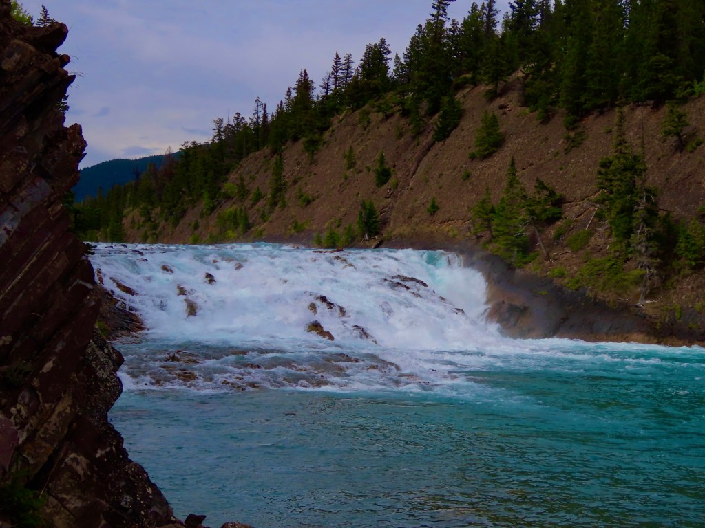
Next up was Tunnel Mountain which provided spectacular views of the Bow Valley and the town of Banff. Turns out the railroad didn’t need to tunnel through this mountain after they surveyed and named it. But the name stuck – just to confuse people forever more- and there’s a huge, wonderful campground at the top.
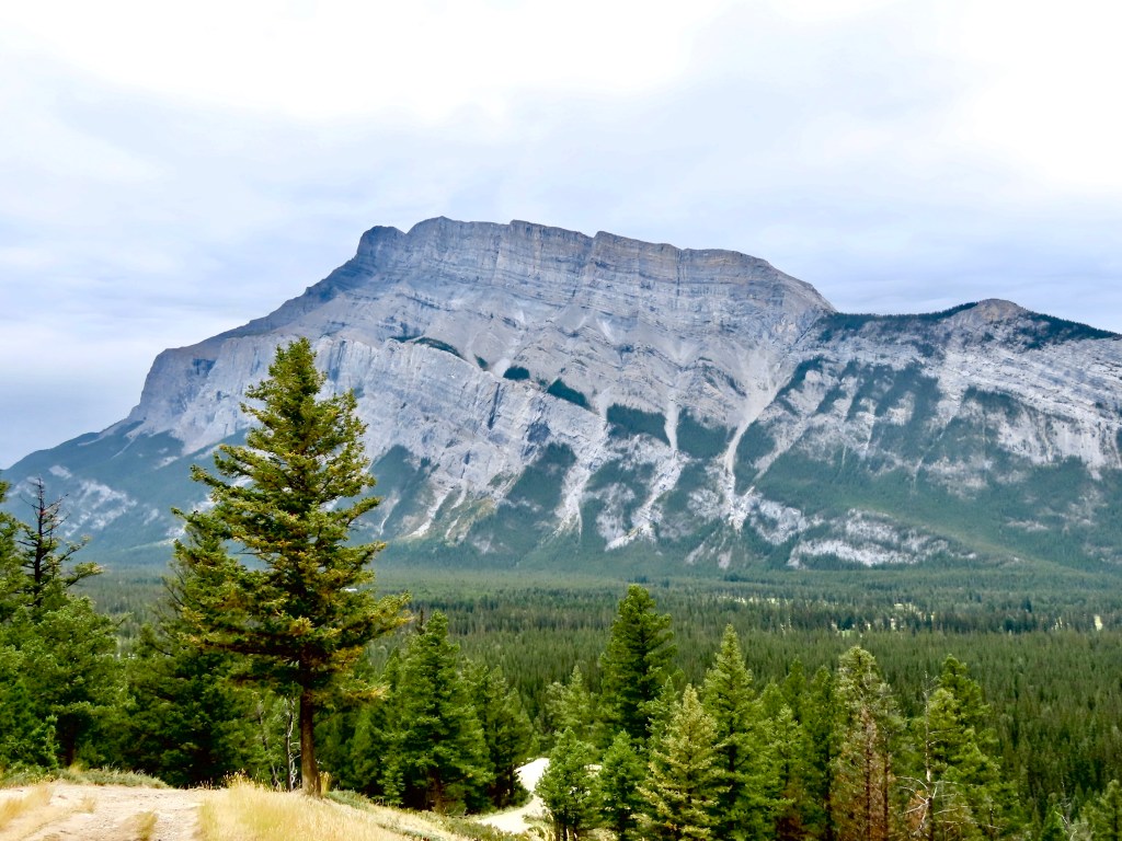
The day ended with dinner at The Elk and Oarsmen in downtown Banff, where we decided to call it an early evening. Tomorrow is an early and busy day.
__________
Day 5, The Icefields Parkway
September 12
This morning we awoke to cold temperatures and stunning blue skies for our departure from Jasper. Even better, it had snowed overnight on some of the lower mountains. The air was cold and brisk but the sun warmed us up as we loaded our gear back into the truck and headed for our next stop, Banff National Park, by way of The Icefields Parkway or La Promenade des Glaciers in French, which I think gives it a beautifully romantic feel.
If I were Shakespeare I couldn’t write eloquently enough to describe the 200 or so miles of this trip, so I’m just going to give you a brief overview and then post a few photos, which also can’t do justice to what we saw. It’s the best I can do and I mean that!
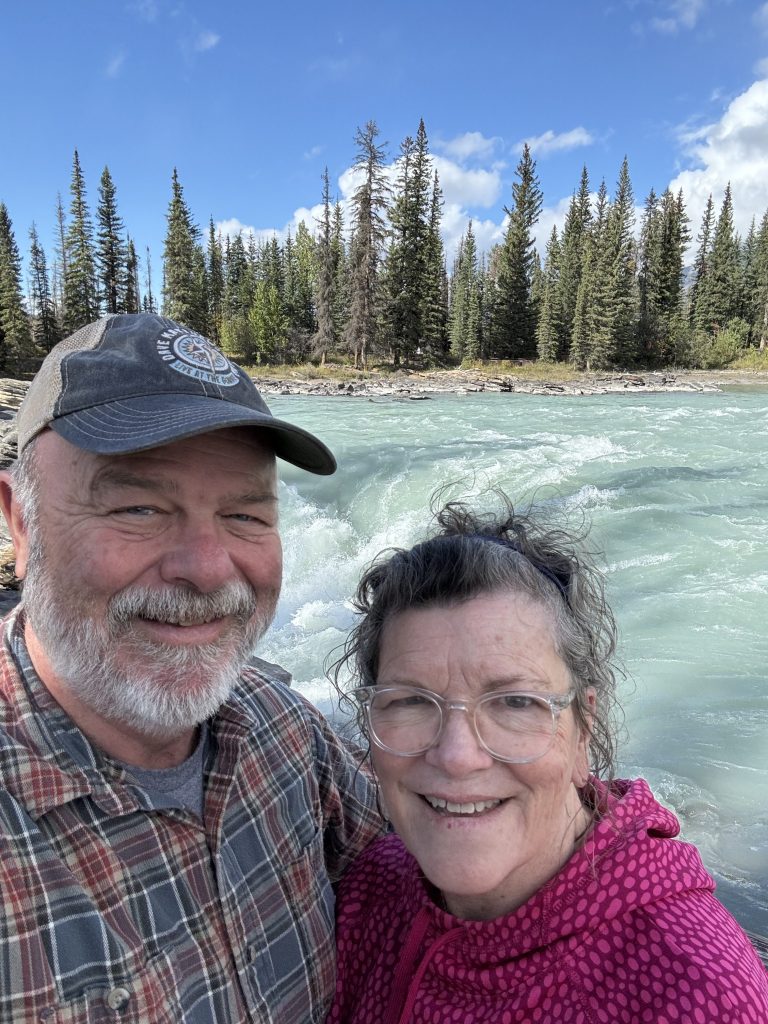
Our first stop was at Sunwapta Falls, which is a long channel consisting of several large drop offs, where the river flows dramatically. We hiked to the bottom of the falls and back, while most of the crowd stayed at the top. It was nice to have it all to ourselves.
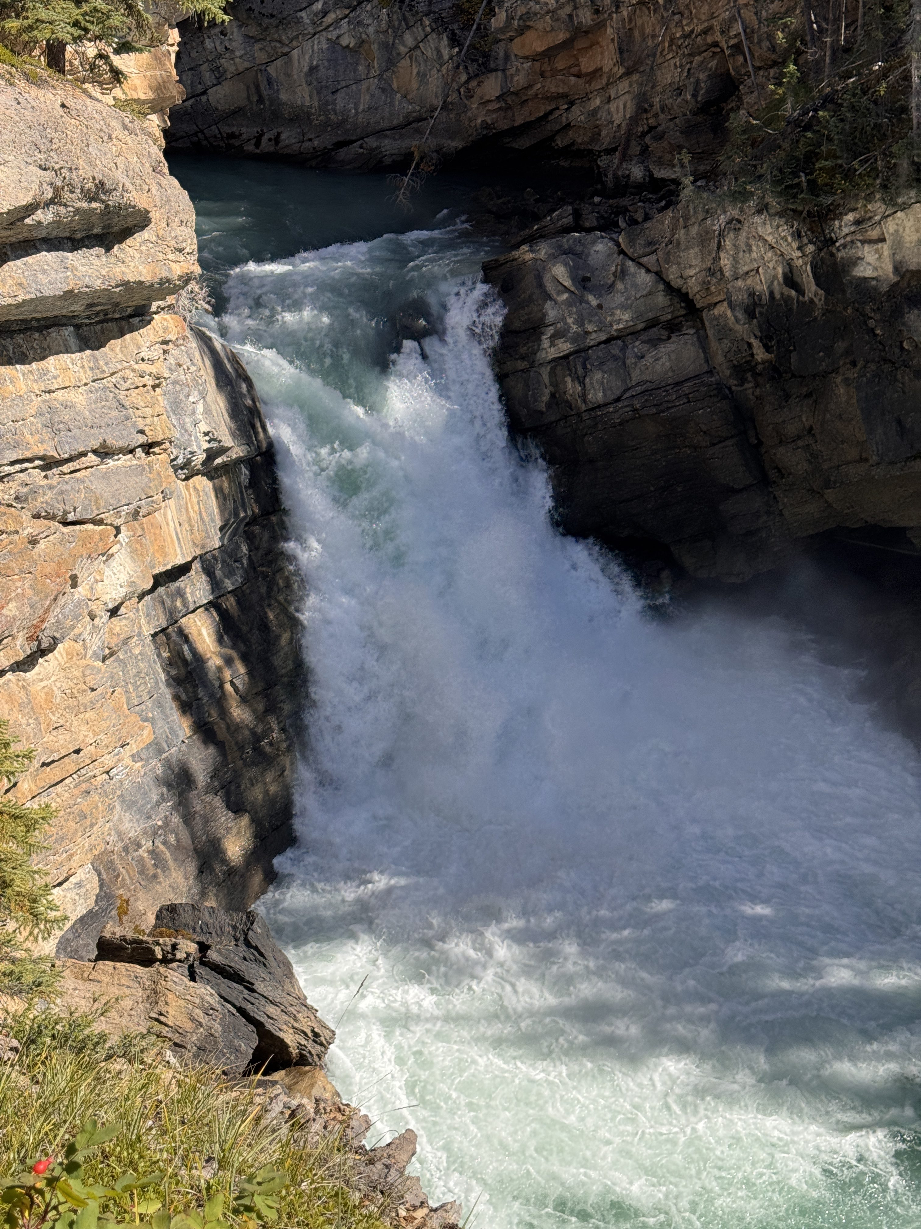
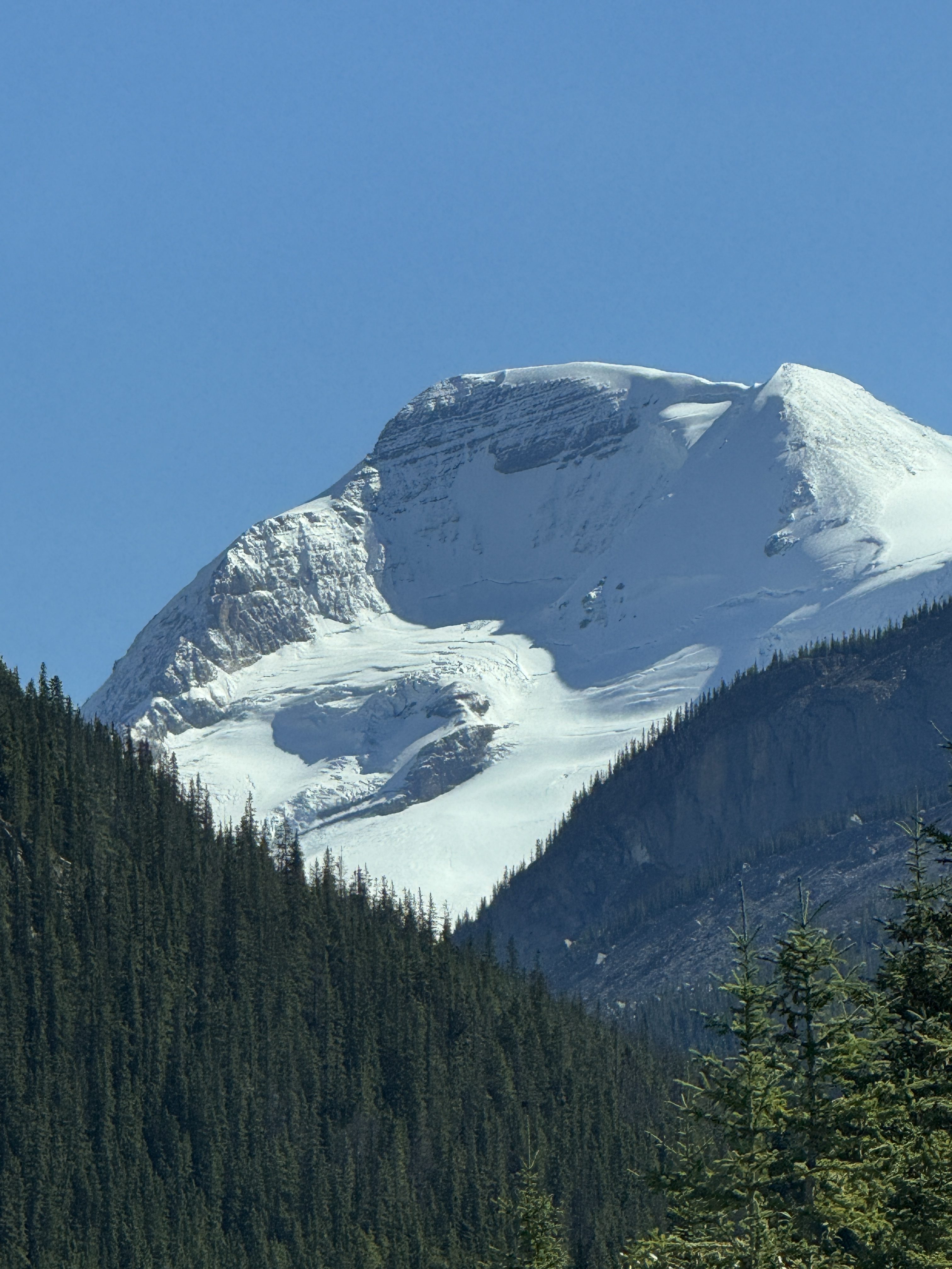
As we left that area, the road meandered through a long set of mountain passes with stunning views on both sides. As soon as we’d see one snow-capped peak, a new one would pop out from behind it. There were lakes along the way too, where the mountains were reflected in the brilliant blue-green water. The sun was so bright, bouncing off all the snow and water, that we could barely take it all in. Here are just a few examples:
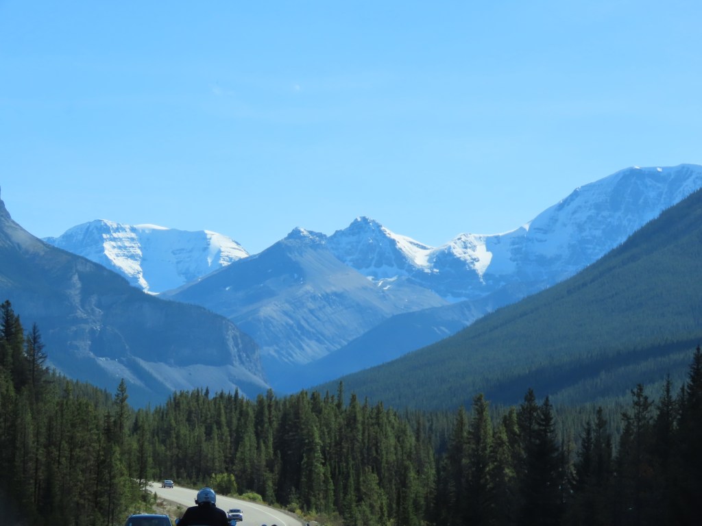
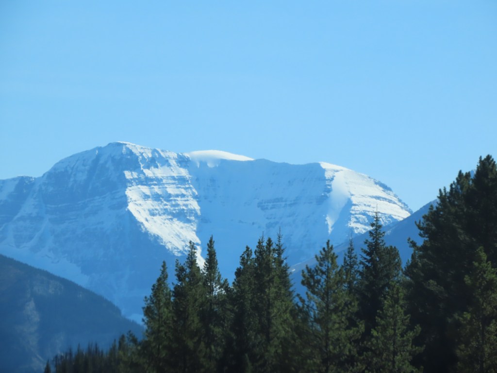
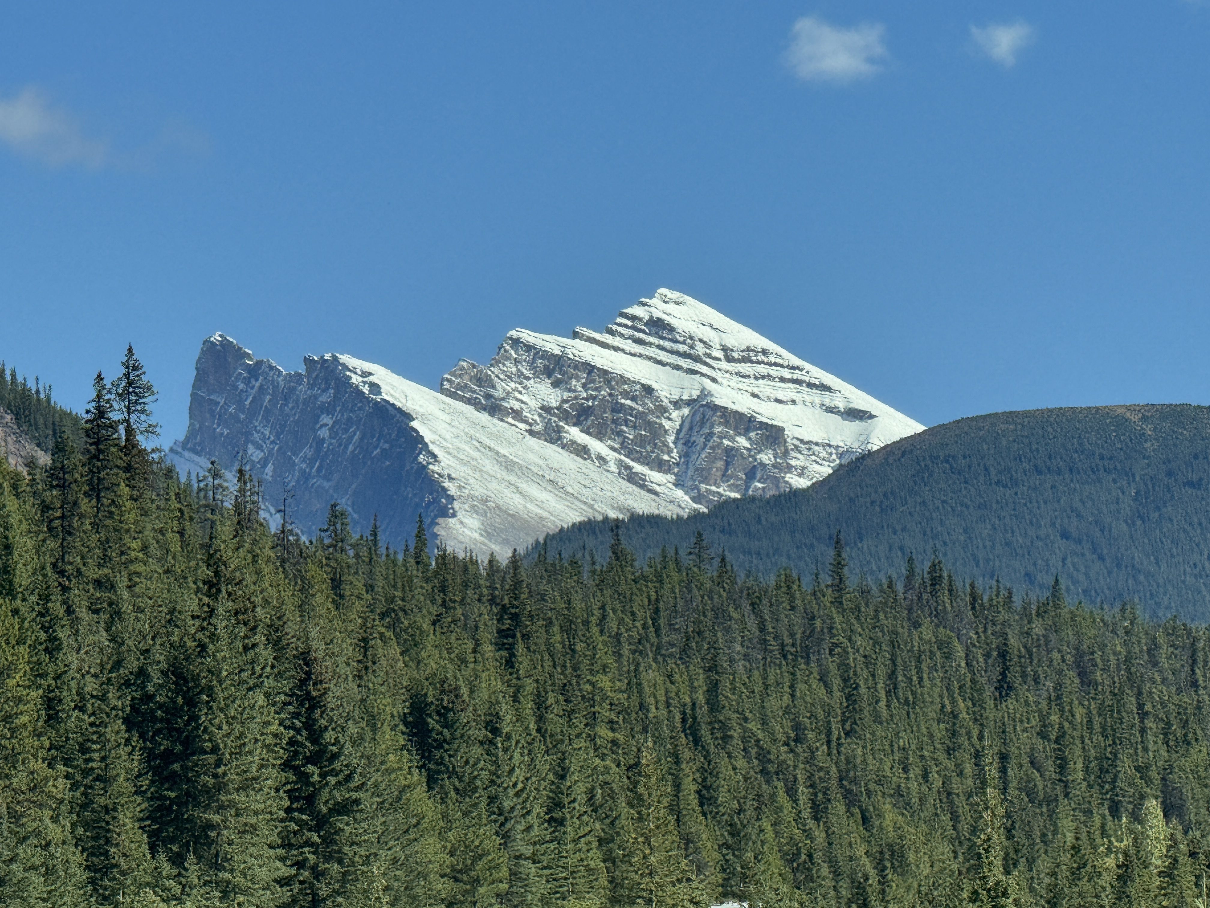
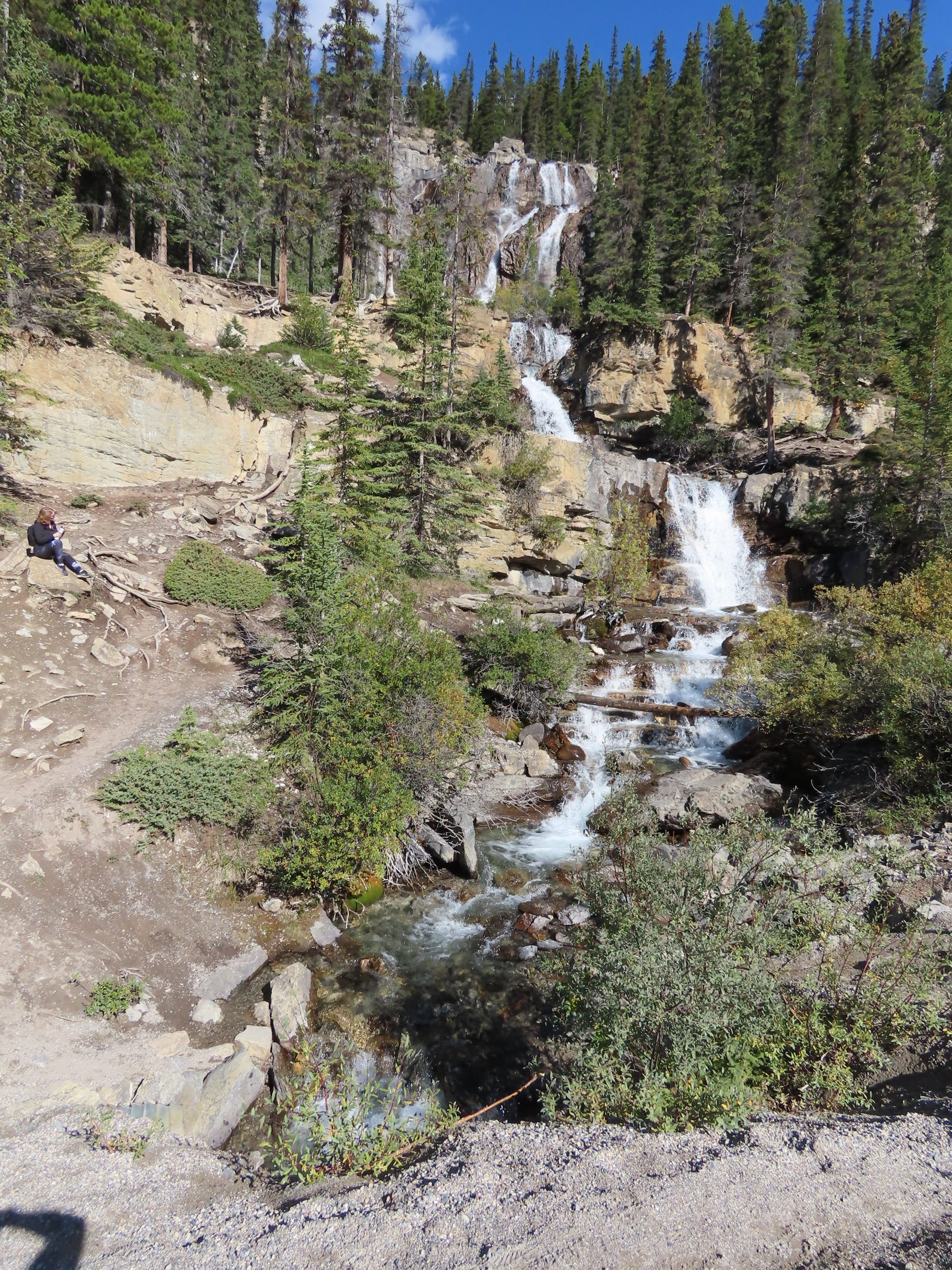
Another highlight was Tangle Creek Falls, just an enormous amount of water spraying out of a wall. Doesn’t sound like much, but since it’s on the side of the road it stops traffic!
The next stop was the Columbia Icefield, the largest icefield in the Rocky Mountains, which consists of six major glaciers. It’s not clear to us why it’s allowed, but you can walk on it, or you can take a tour where they DRIVE YOU IN A BUS onto the ice. We parked by a sign that showed where the toe of the field was in 1925, which was at least half a mile from the ice.
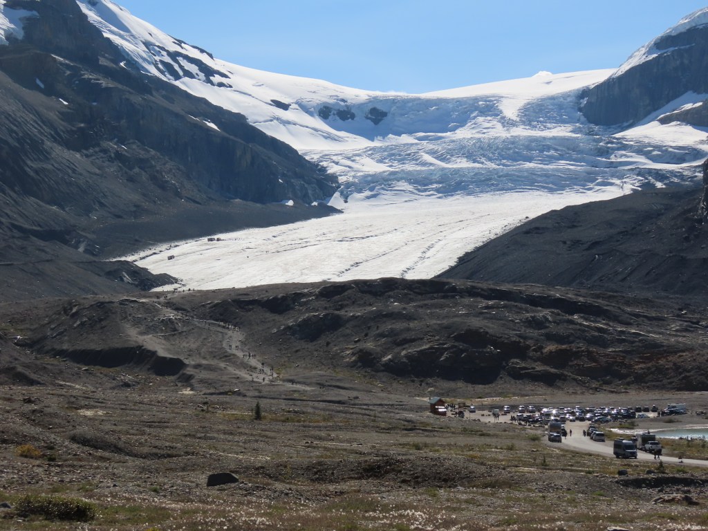
After taking tons of photos and the requisite selfie, we proceeded through the next phase of the Canadian Rockies, which was just as incredible to me. Nothing like what the Rocky Mountains further south in the US look like to me. So many interesting shapes haphazardly stacked in gravity-defying piles to make an odd formation that end up covered with a blanket of white that highlights all the pieces. Dozens of them and they’re all fantastically different from each other.
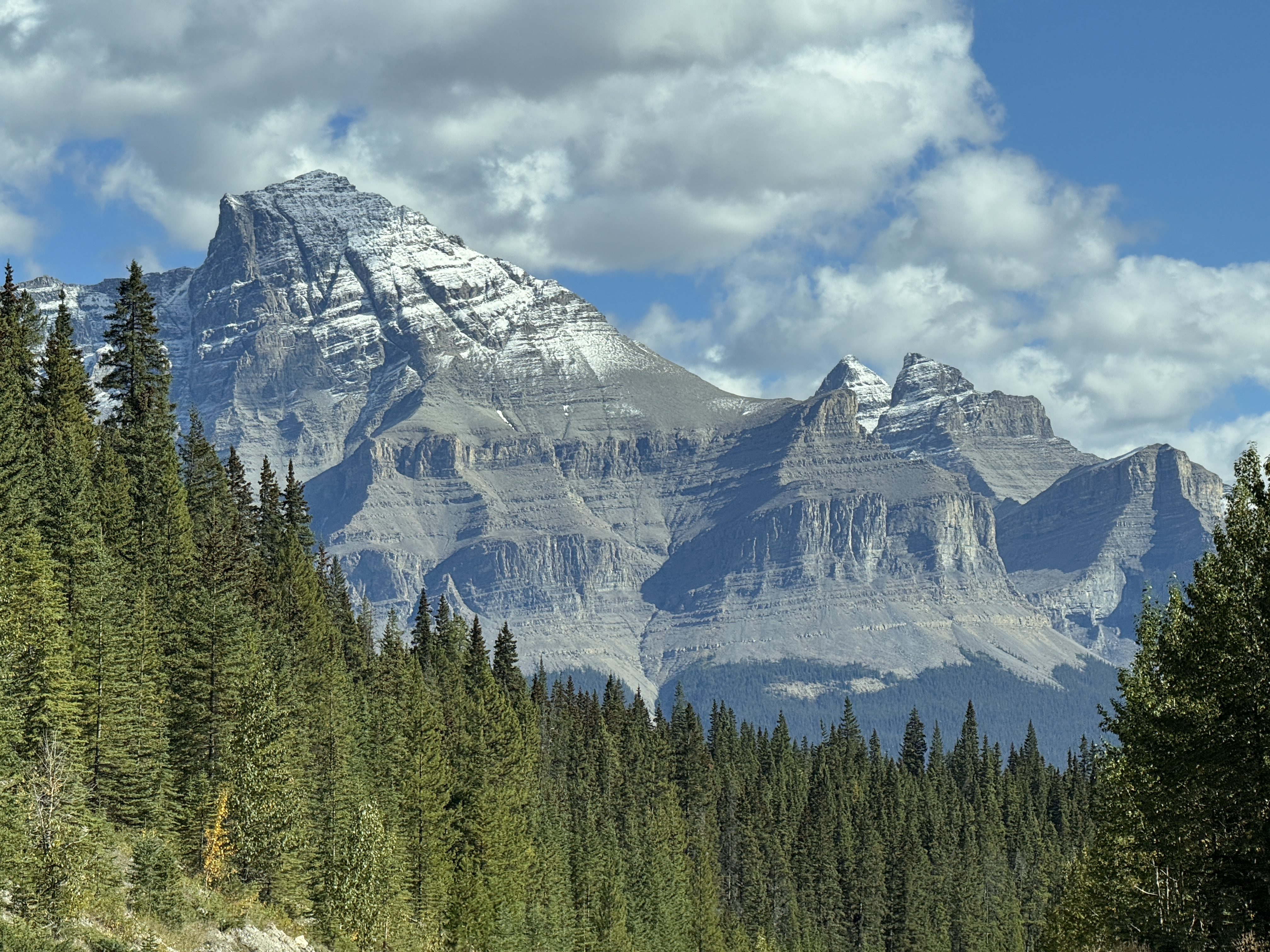
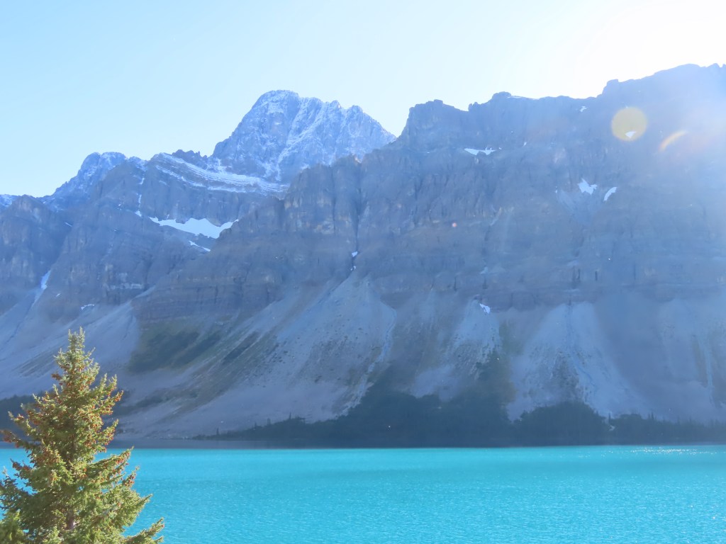
It went on and on like this all day, until we reached Banff where we found our little rental cottage and tried to calm down after the overwhelming grandeur we’d just experienced.
__________
Day 4, Jasper National Park
September 11
SPOILER ALERT: Elk!
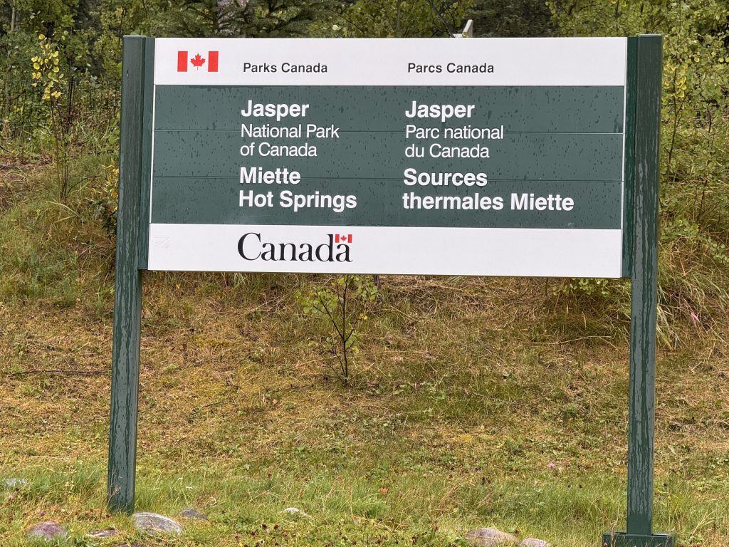
Today began on a gloomy note. We woke up to a lot of rain, wind and gray skies. We started our day with a drive to Miette Hot Springs. The surrounding forest was lush and beautiful. We kept thinking about this being our last day here and how we wanted to make the most of it, and really didn’t want to spend a long, rainy day in the truck. We adjusted our attitudes -we’re on vacation! – and decided to push through, making several stops along the way to check out the scenery, even though a lot was obscured by clouds. At the source Miette Hot Springs are 54°C! The water has to be cooled down to 40° so that people can soak in it. It’s one of the most popular things to do here in Jasper.
On the way back from the Hot Springs the rain began to dissipate so we headed toward Pyramid Lake. We were told not to miss this lake and for good reason. By the time we got there it was like a new day- the sun was shining, the clouds were drifting away, and we were ready to be outdoors. Pyramid Lake has a small island that’s made accessible by a footbridge. We had a great time checking it out and were fully recharged by the time we were done.
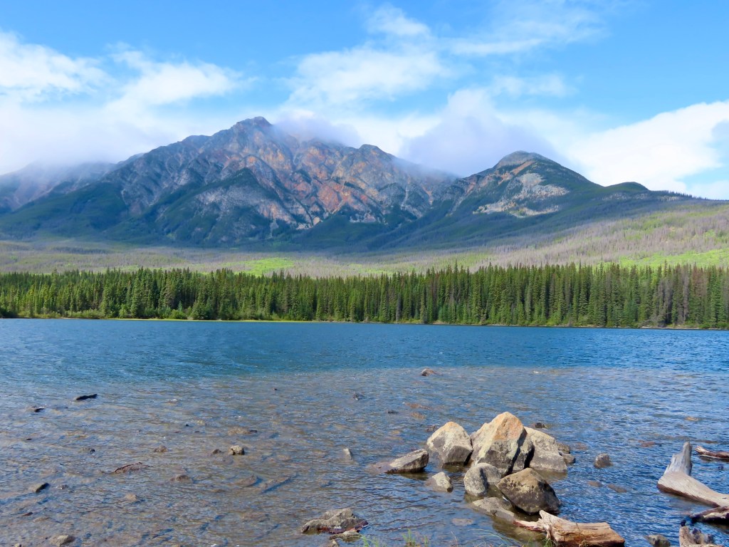
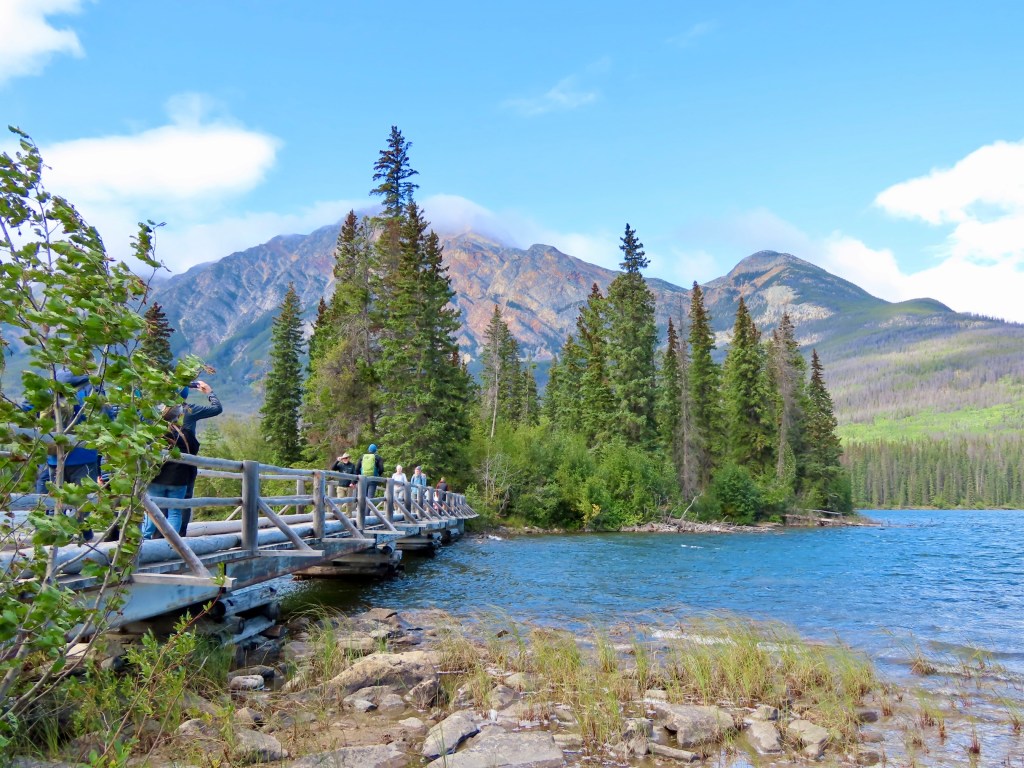
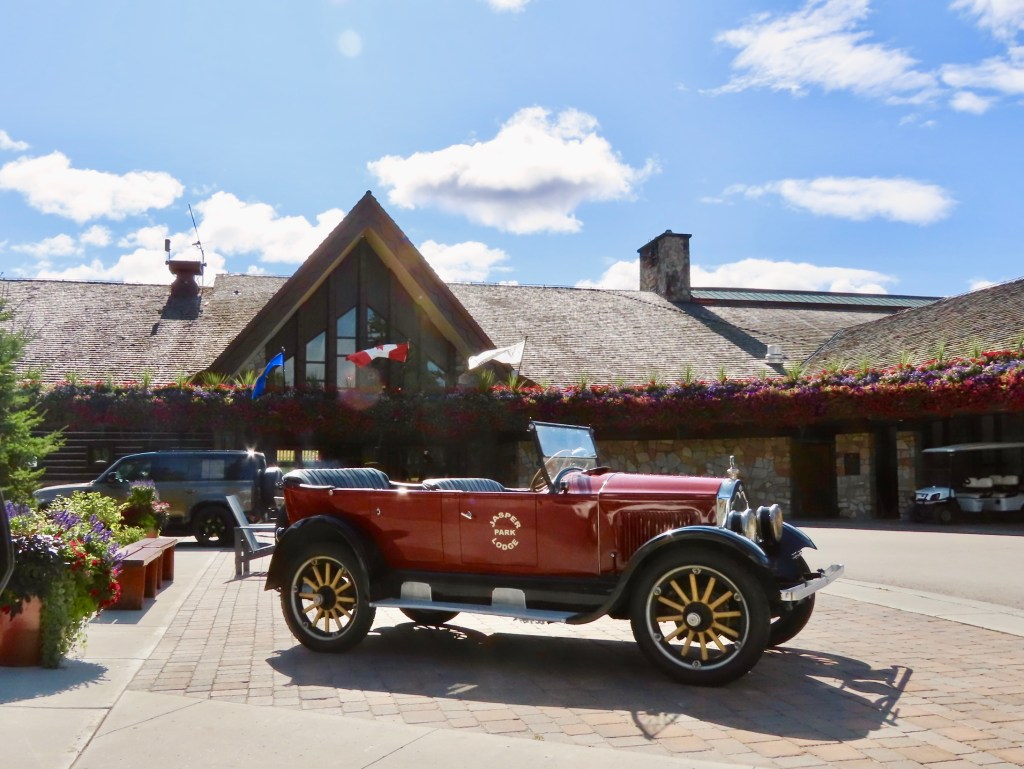
We had also been tipped off that the Jasper Lodge was a fun place to go for a gorgeous setting, a nice view and possibly to see some wildlife. We headed there next and the place was really busy, so we didn’t stay. Beautiful though.
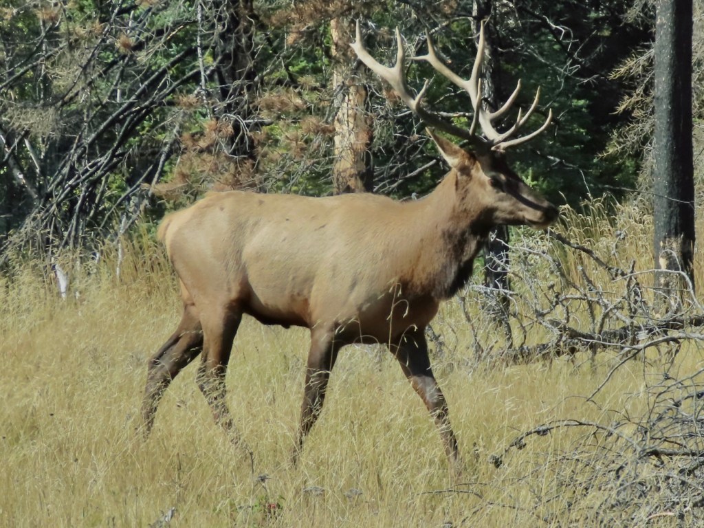
We were making our way back out to the main highway when we came upon our first Jasper traffic jam. Marshall immediately located the cause- a bull elk with three cows (female elk) minding their own business in a field adjacent to the highway. All four animals began to sense the attention they were getting from stopped vehicles and became nervous. We stayed way back from the traffic and I pulled out my good camera as they scampered away. Right place, right time. Beautiful creatures!
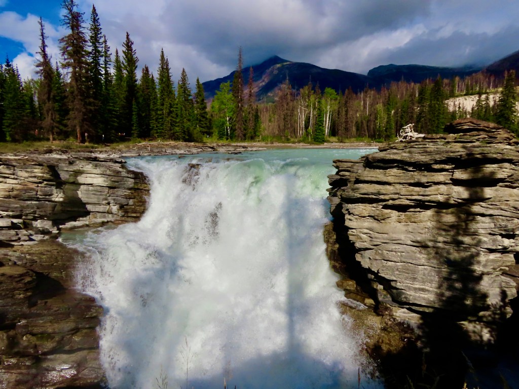
Our final stop for the day was going to be Athabasca Falls, but there was so much to see along the way, we couldn’t help ourselves. We stopped every chance we had – there were opportunities to learn about the history of the area, including the trade routes, the surrounding geography and the various characters involved.
One example: did you know that Douglas Firs were named for a Scottish botanist named David Douglas? He wrote extensively about the area during his stay here, including all the plant life of course. Unfortunately he didn’t measure things very well and his reports of the height of the mountains were exaggerated by more than 2000 metres. Or meters as they say in the US. They also ask in the US, “how long is a meter?”
FACTS!
__________
Day 3, Jasper National Park
September 10
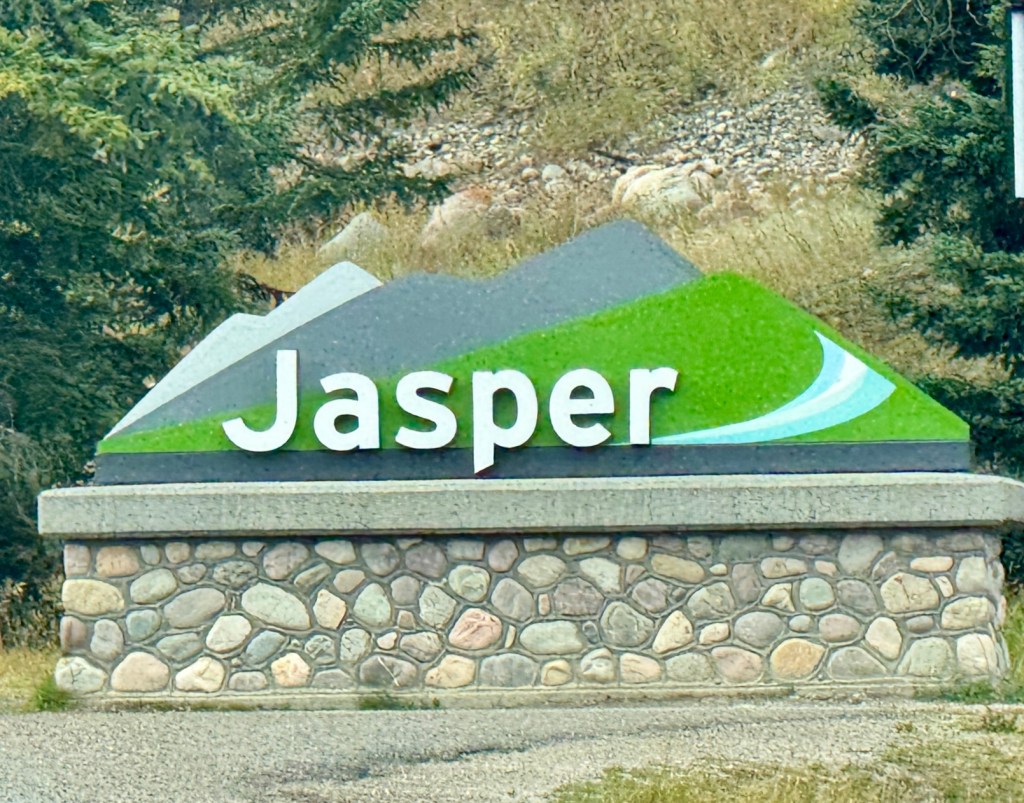
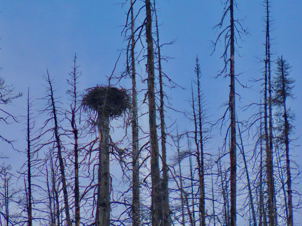
Today we saw up close the devastation suffered by the town of Jasper during the 2024 wildfire. With one-third of the town being destroyed, no one was left unaffected. Folks are still healing emotionally and are happy to have tourists visiting. The area is in the process of rebuilding but two years in there’s a lot of work still to be done.
The Jasper Park Skytram is an aerial tramway that travels up the side of a mountain called The Whistlers in a brisk 7 minutes. We were set to take it up for a view of the scenery from above, but weather conditions weren’t great. We had wind and rain off and on most of the day, so we decided to drive the Maligne Valley to Maligne Lake and see what that would bring.
The good news is that with the weather changing so quickly from moment to moment, the lighting on the landscape did as well. One minute we’d see a mountain covered in clouds and the next thing we knew the clouds parted and sunshine came streaming down across the vast landscape, causing the peak to glimmer in the brightness.
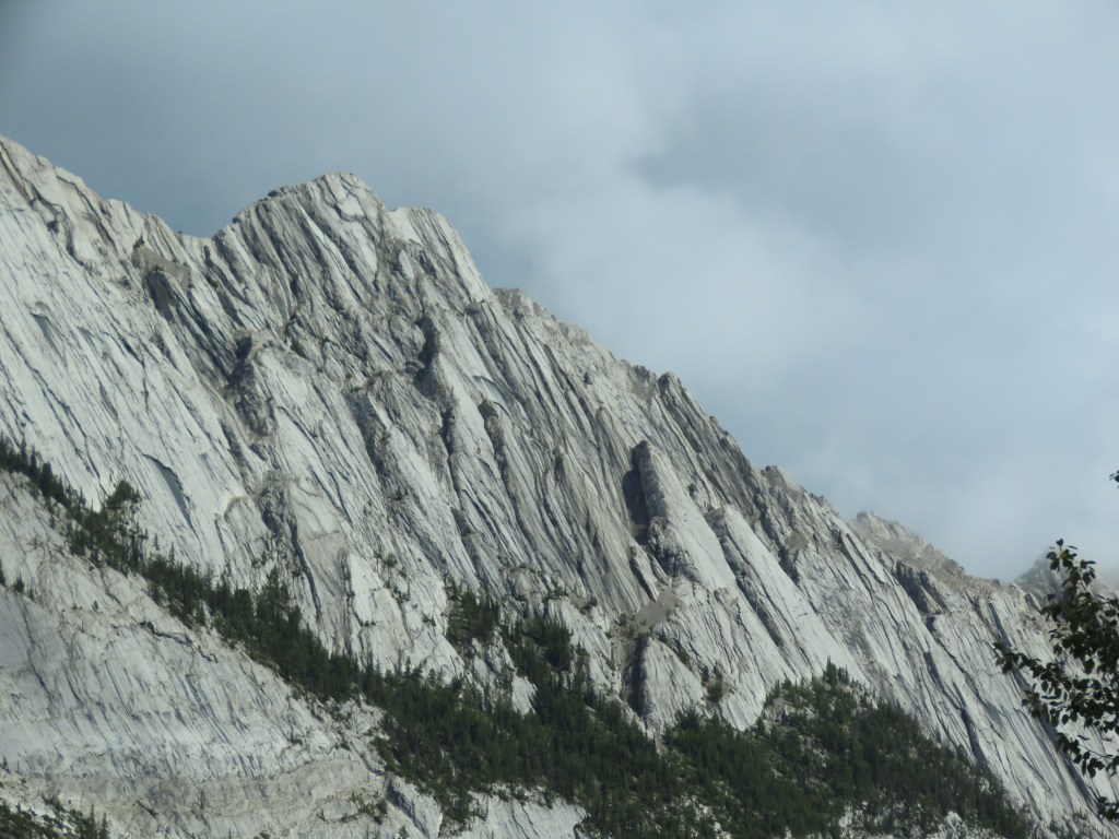
The trip to Maligne Lake consisted of many stops for brief walks at various other lakes along the river with our jaws slackening as we looked up, down and all around. How many times can you say “Oh wow, look at that!” In one day?
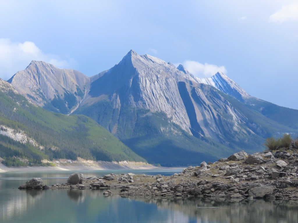
At each stop we thought we’d seen the best of Jasper. But ending up at Maligne Lake, we realized we hadn’t seen much at all.
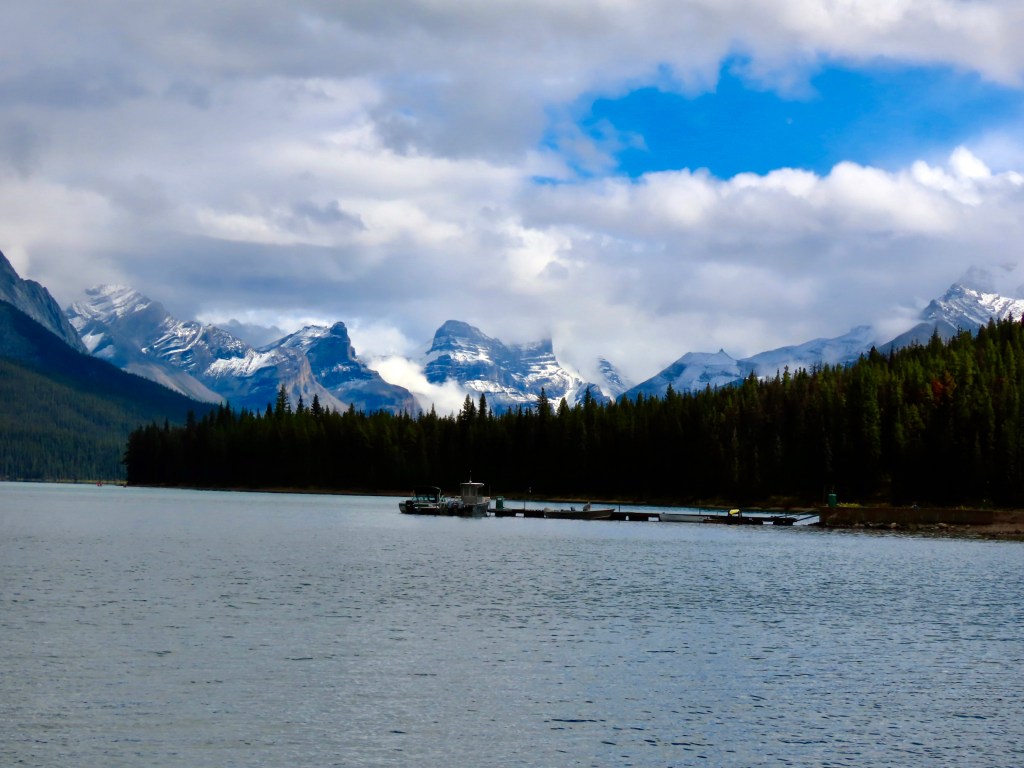
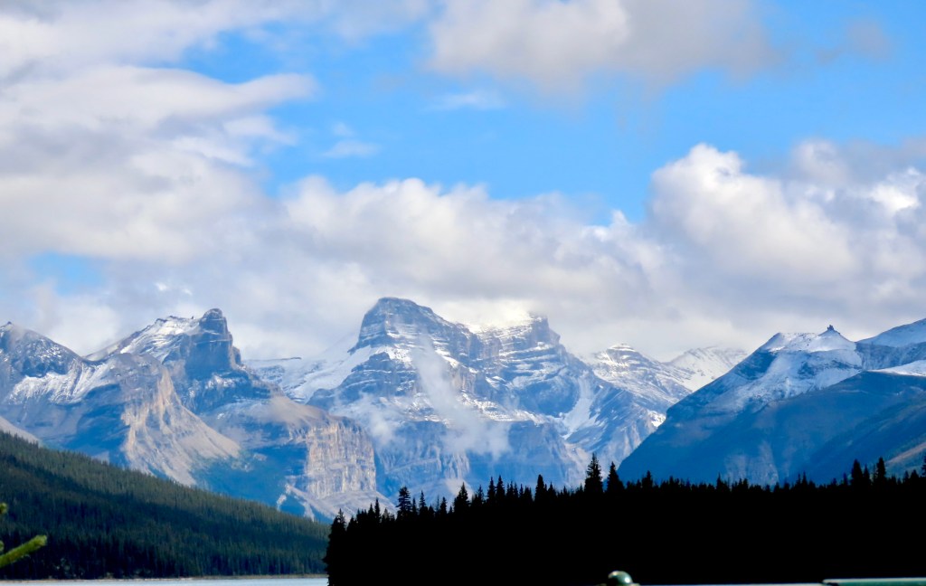
It turns out that most of the park has no roads and is completely inaccessible, on purpose. Staring up at those mountains in the distance from Maligne Lake one can only imagine what it must look like. I’m glad it’s being kept wild.
_____________
Day 2, Jasper National Park
September 9
We left Kamloops for Jasper National Park this morning. As we pulled out of the gas station after filling up, we saw the Rocky Mountaineer train leaving Kamloops, fully loaded with passengers. We’ve talked at length about taking a trip across Canada that way, and seeing it in person was exciting!
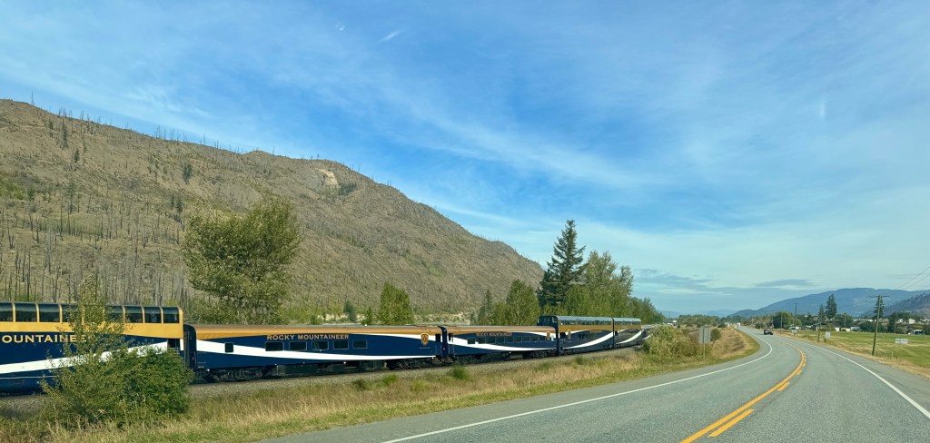
Since I first moved to the PNW and heard about the proximity to Jasper and Banff I’ve wanted to take THIS trip and I’m so grateful that it’s finally underway, 14 years later.
As we were unwinding last night we read about Wells Gray Provincial Park, which is sorta kinda on the way to Jasper, and happens to be the setting for numerous waterfalls. I’m a total sucker for a waterfall anytime. It was going to add about a 90-minute detour to our journey today, so we decided to sleep on it. This morning it was a no-brainer. We’ve got the time!
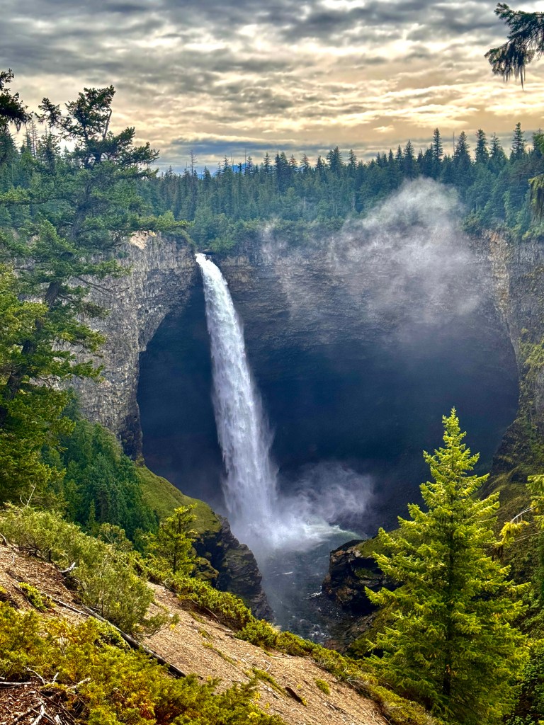
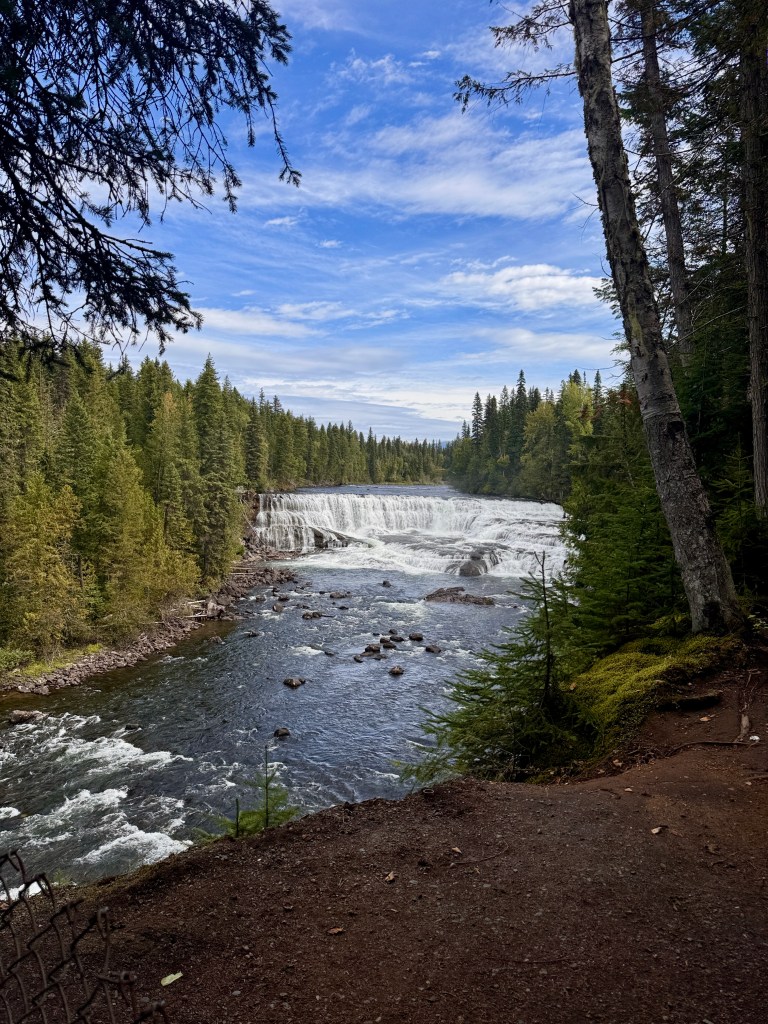
We took the road that parallels the Clearwater River, for about 30 miles and did a couple short walks – one to Helmcken Falls, the 4th tallest waterfall in Canada, and another to Dawson Falls which is really wide with about a 60 foot drop. There were so many more to see! If you lived in Kamloops you could do a waterfall hike at Wells Gray every weekend and see a different one each time!
After taking our time with the waterfalls we needed to pick up the pace of the day but we hadn’t eaten a thing. Luckily we found The Painted Turtle restaurant at Dutch Lake where we had a fantastic lunch as we sat lakeside listening to the loons calling to each other. Canadian paradise!
We headed back up the Yellowhead highway following the beautiful North Thompson River. We could see the Rocky Mountains looming as we drove north. From time to time we had some pretty heavy rain but the roads were in good shape and traffic was light. Marshall would be surprised by the rare car in the rearview mirror. Truly the wide open spaces.
I played DJ keeping the music going and trying to take an occasional photo or two. At one point literally in the middle of nowhere, as I was looking left Marshall pointed to the right and yelled “MOOSE!!” And sure enough, there he was, just standing there on the side of the road. No time to grab a phone or camera but etched in our minds forever.
Now we were both on the lookout for more, but the only moose we saw the rest of the drive were the silhouettes of them on the yellow moose crossing signs along the highway. We did see two deer, a young buck and an even younger doe, crossing the road, and they were beautiful. Their silky fur was more gray than brown, and they looked so healthy.
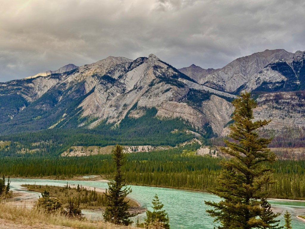
I don’t know where to begin about Jasper National Park. There’s so much to see and we drove through the main gate with our jaws agape. The mountains don’t look like anything else I’ve ever seen: layers of rock folded in every direction, making wild shaped objects that jut skyward across the horizon in every direction. Water everywhere- lakes, rivers, ponds and marshes, all so distinctly different from each other, blending into the larger scenery in colors that you’d think couldn’t be found in nature.
We arrived at our cabin after suppertime and were greeted by a sky shimmering with starlight. We looked up and saw the Big Dipper and Cassiopeia as well as the Milky Way which appeared as if someone had taken a paintbrush across the sky with glow-in-the-dark paint.
Not sure how we’ll be able to sleep tonight, because we’re so excited to begin exploring the park in the morning.
___________________
First stop, Kamloops, BC
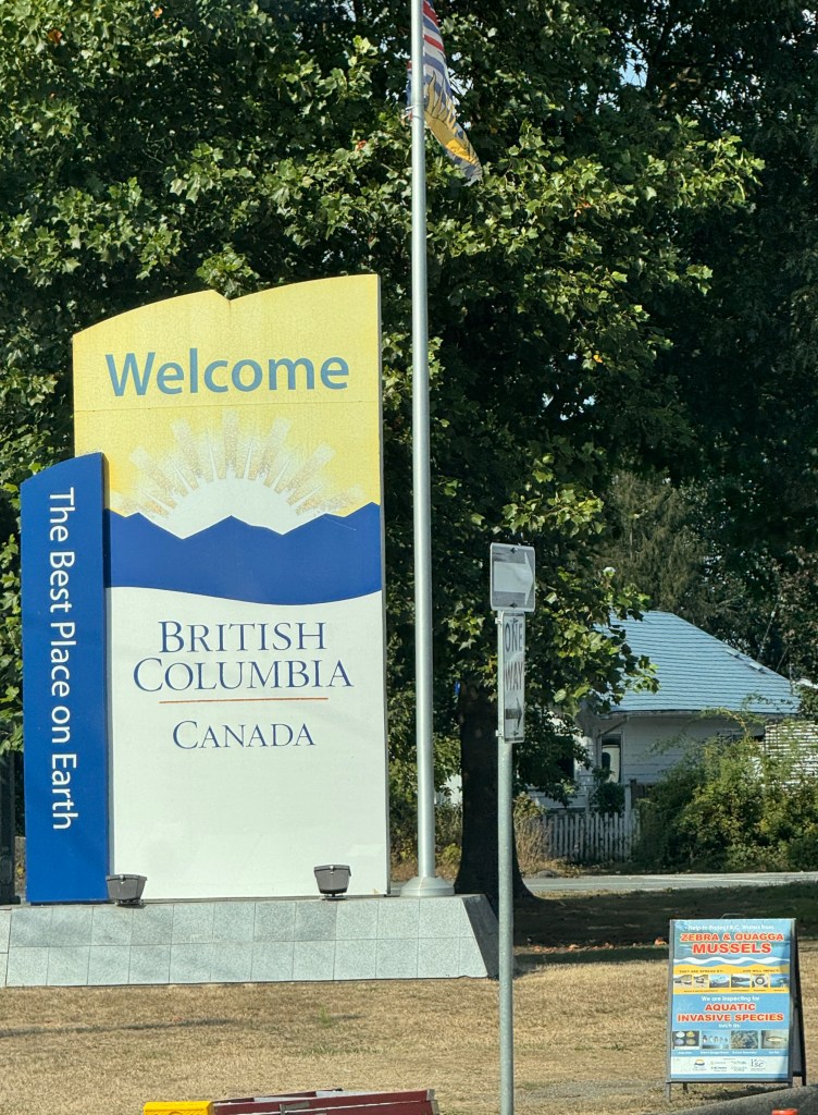
Today we started out or trip which took us as far as Kamloops, BC. While we weren’t sure our backsides were up for a full day of sitting in the car, we came out unscathed. What a drive!
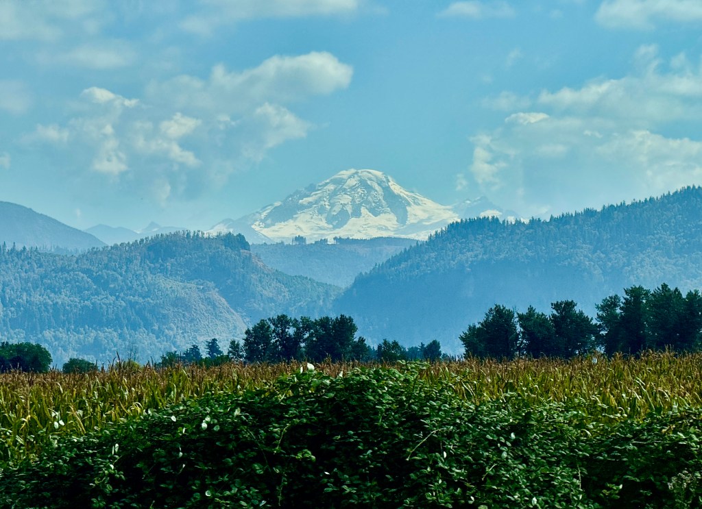
It was a beautiful day, with temperatures in the mid-70’s and lots of blue sky in between the puffy white clouds. It was disappointing that we were unable to see Mt. Baker as we drove north out of Seattle toward the border. It was just too cloudy in that direction. But once we made it into Canada (with an uneventful border crossing in Sumas), we caught site of the 10,000+ foot volcano standing watch over miles and miles of fertile Canadian farmland in the distance.
.
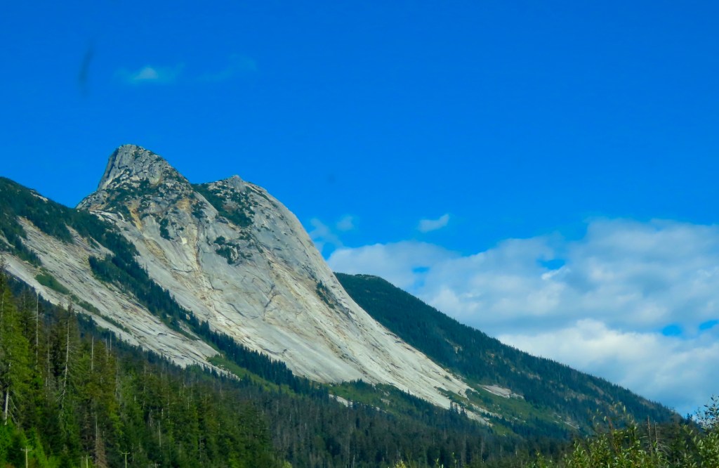
We took TransCanada Highway #1, driving along the eastern side of Fraser River Valley, to a town called Hope, where we got on Yellowhead Highway #5. This took us along the Coquihalla River, which is why the road is also known as the Coquihalla Highway. We climbed several mountain passes over the 100 or so miles along this stretch. Some of it was slow going, but the road was in excellent shape, there was very little traffic and the scenery was spectacular. We saw granite formations, deep crevasses, and even a glacier or two up at the highest point, when the clouds drifted away momentarily.
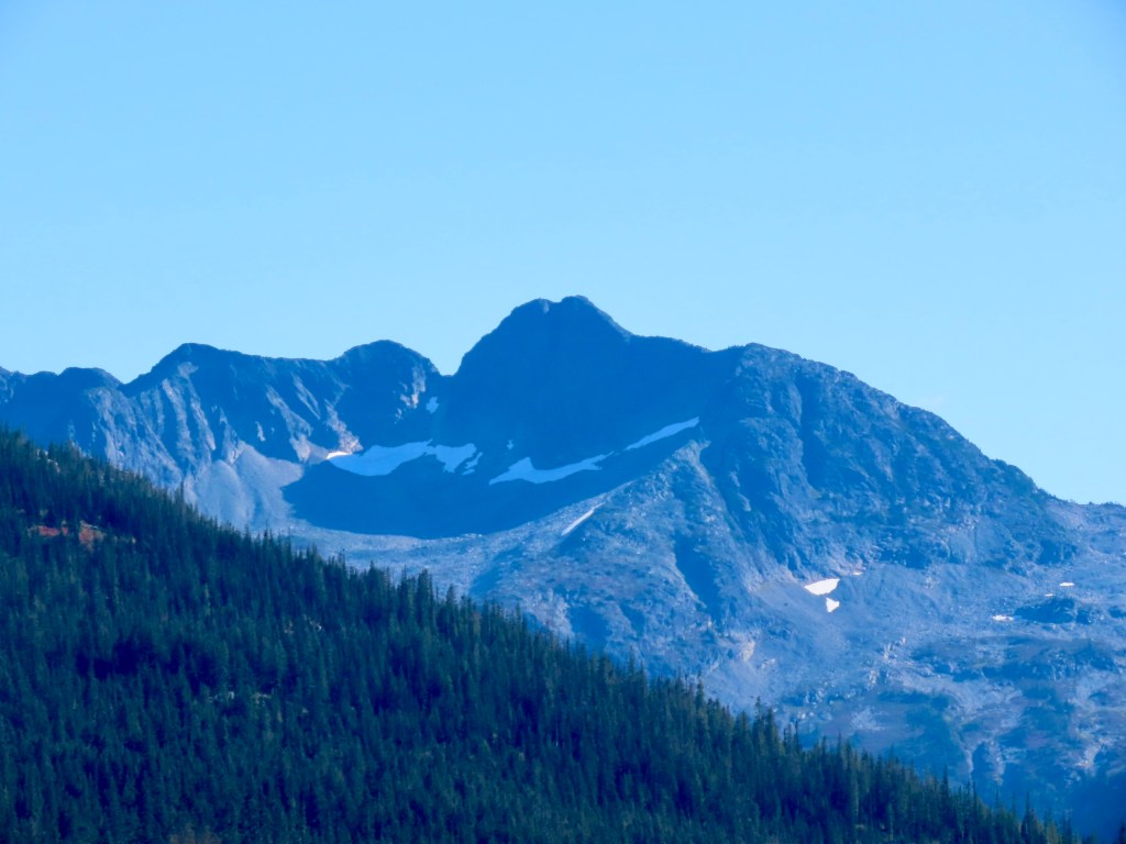
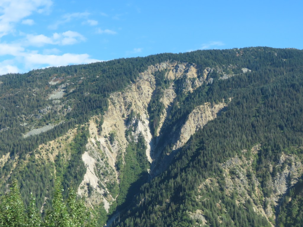
There were many miles of land scarred by fire, as well. For long stretches, we saw trees right along the side of the road that seemed newly burned, with scarred hills far off into the distance as reminders of the impact.
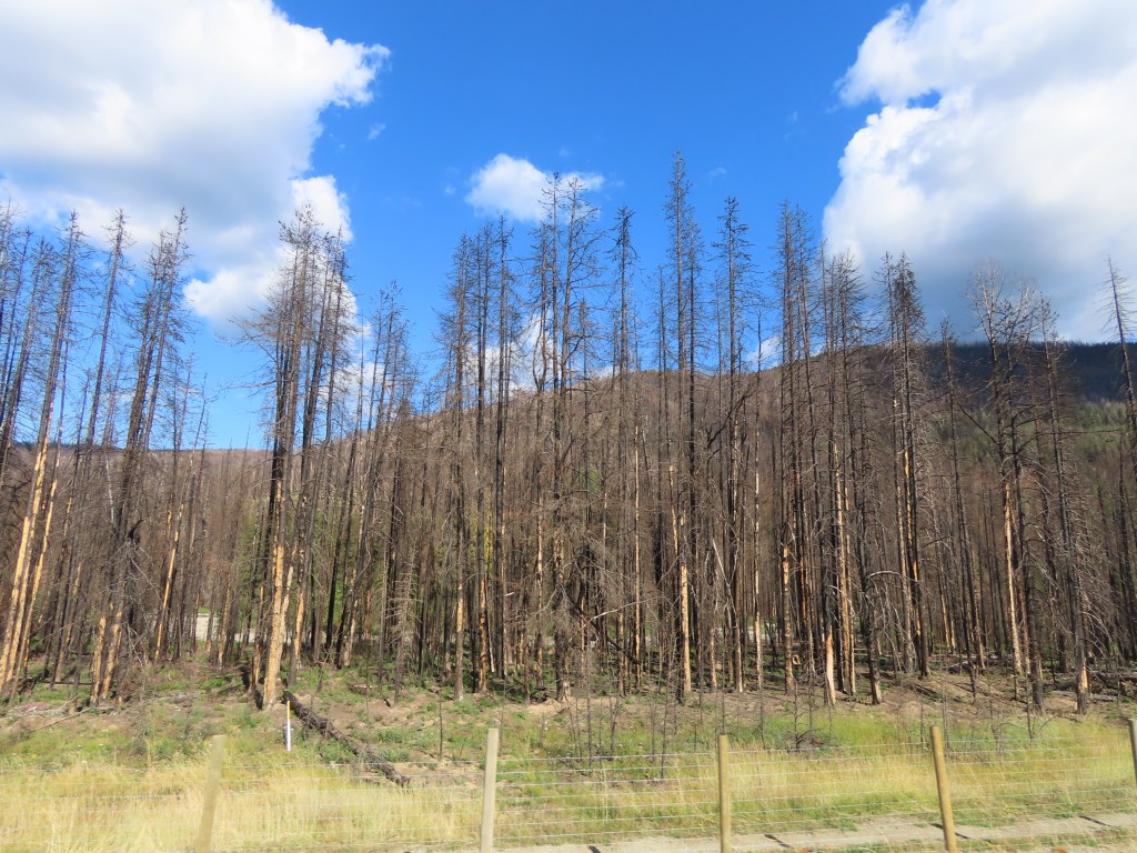
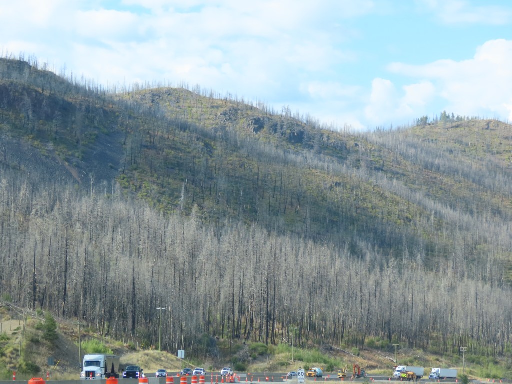
The good news- We saw no evidence of any forest fires currently burning. After about 100 miles or so, we rounded a long bend in the road and the scenery changed dramatically. It was as though we were back in Washington, heading into Wenatchee on the eastern side of the Cascades. The high desert rolled out in hills and plateaus all around us, with a deep gorge below. So deep we couldn’t see the bottom. The highway slowly lowered us into the depths of the Nicola Valley to find the city of Kamloops nestled along the Thompson River.
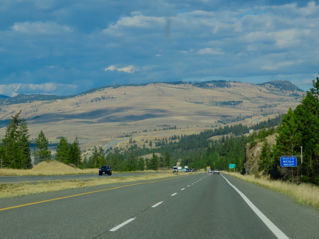
The city of Kamloops is spread out and climbing some of the less steep hills that line the western side of the river. The city, with its arid, temperate climate boasts more golf courses per capita than anywhere else in Canada. It’s also known as Canada’s tournament capital with a number of world class sporting venues. There’s a 40 km trail along the river for walking and cycling that provides stunning views, especially at sunset, which we made in time to see as we hustled to purchase bear spray for our upcoming hiking adventures. No photographic evidence unfortunately. We were in the moment! As we look back on the day we realized saw more eagles throughout the drive than we’ve seen all summer, with no photographic evidence to offer of them either.
September 8, 2026


Leave a comment